World Heritage Identification Number: 1464
World Heritage since: 2015
Category: Cultural Heritage
WHE Type: Infrastructure & Industry
Transboundary Heritage: No
Endangered Heritage: No
Country: 🇺🇾 Uruguay
Continent: Americas
UNESCO World Region: Latin America and the Caribbean
Map
A Journey through Time: The Fray Bentos Industrial Landscape - A Unique Testimony to Global Meat Production
The Fray Bentos Industrial Landscape, inscribed as a UNESCO World Heritage Site in 2015, offers a captivating glimpse into the history of global meat production. Situated on the banks of the Uruguay River, this industrial complex, nestled within the picturesque city of Fray Bentos, serves as a tangible reminder of the economic and technological transformations that took place during the late 19th and early 20th centuries.
More to come…UNESCO Description of the World Heritage Site
Located on land projecting into the Uruguay River west of the town of Fray Bentos, the industrial complex was built following the development of a factory founded in 1859 to process meat produced on the vast prairies nearby. The site illustrates the whole process of meat sourcing, processing, packing and dispatching. It includes buildings and equipment of the Liebig Extract of Meat Company, which exported meat extract and corned-beef to the European market from 1865 and the Anglo Meat Packing Plant, which exported frozen meat from 1924. Through its physical location, industrial and residential buildings as well as social institutions, the site presents an illustration of the entire process of meat production on a global scale.
UNESCO Justification of the World Heritage Site
Criterion (ii): Fray Bentos Industrial Landscape is evidence of the interchange of human values between European society and the South American population of the 19th and 20th century which effected social, cultural and economic changes in both places during that period. This was due the interchange on developments in technology which enabled the production and export of canned and frozen meat on a global scale and to the immigrant workers who arrived from more than 55 nations.
Criterion (iv): The ensemble of cattle pasture and handling facilities, industrial buildings, mechanical facilities, port facilities, residential fabric and green areas linking the river and agricultural areas to the city of Fray Bentos Industrial Landscape stands out as an example of early 20th century industrial development.
Encyclopedia Record: Fray Bentos
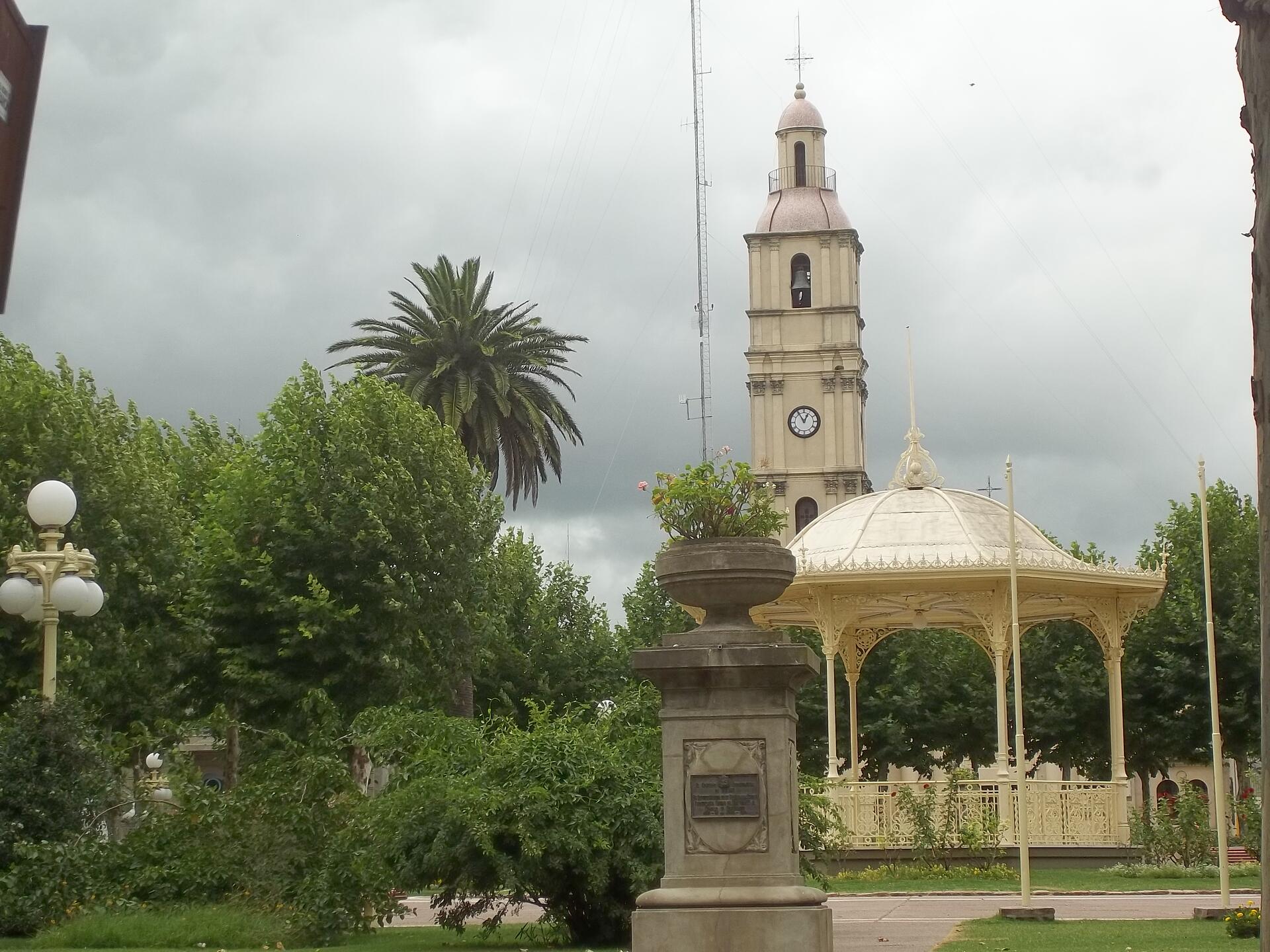
Fray Bentos is the capital city of the Río Negro Department, in south-western Uruguay, at the Argentina-Uruguay border, near the Argentine city of Gualeguaychú. Its port on the Uruguay River is one of the nation's most important harbours. The city hosts the first campus of the Technological University, beside the historically relevant industrial complex Anglo, a World Heritage Site, however, the Port is mainly famous for giving the name to the world renowned Fray Bentos pies.Additional Site Details
Area: 273.8 hectares
Number of Components: 1
(iv) — Outstanding example of a type of building or landscape
Coordinates: -33.1177777778 , -58.3316666667
Image
© Eledu89, CC BY-SA 3.0 Resized from original. (This derivative is under the same CC BY-SA license.)
