World Heritage Identification Number: 994
World Heritage since: 2000
Category: Cultural Heritage
WHE Type: Natural Landscapes & Geographic Features
Transboundary Heritage: Yes
Endangered Heritage: No
Country: Lithuania, Russian Federation
Continent: Europe
UNESCO World Region: Europe and North America
Map
The Curonian Spit: A Natural Barrier and Cultural Treasure
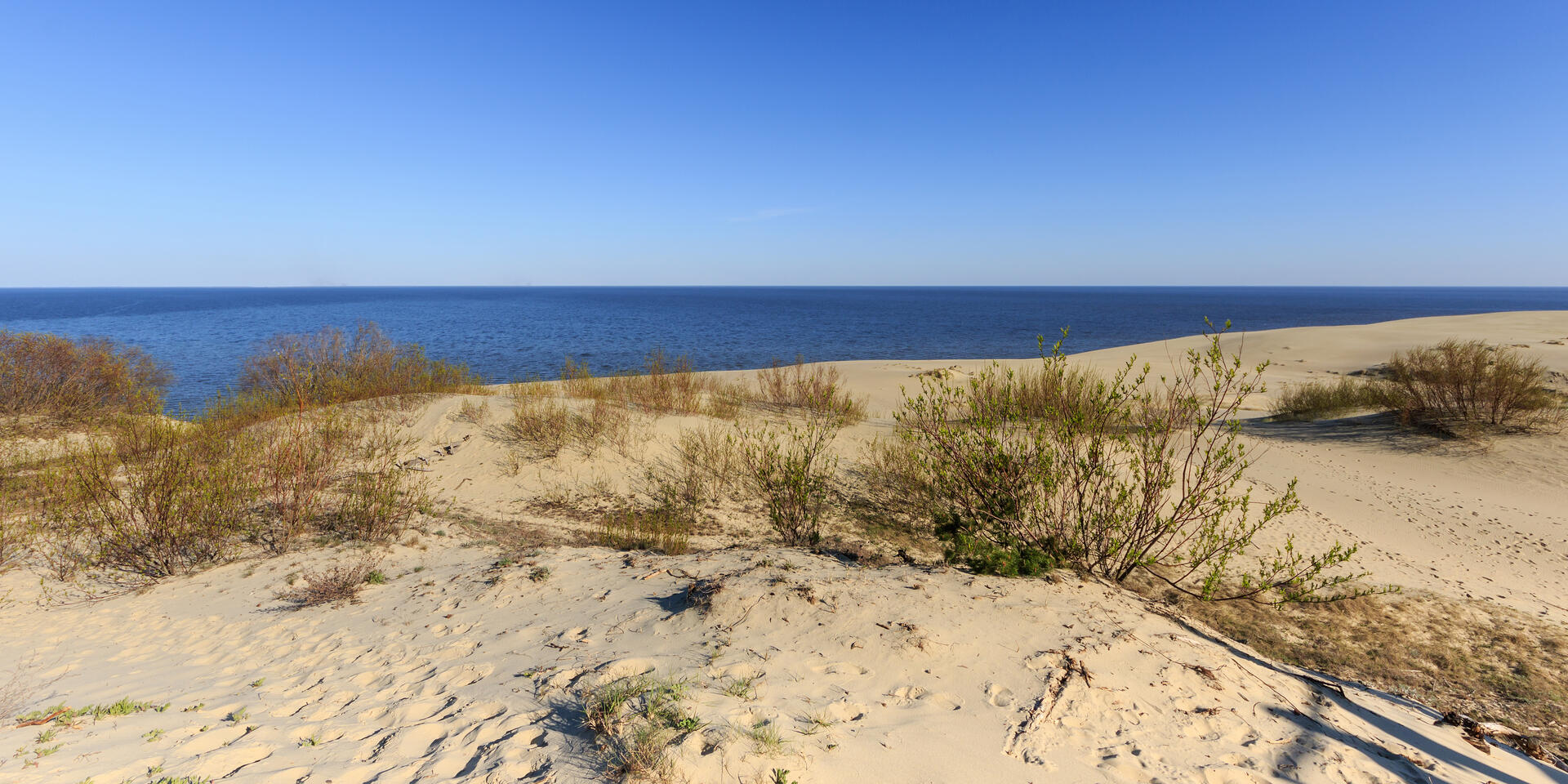
The Curonian Spit, officially known as the Courish Split, is a remarkable 98-kilometer-long, narrow, curved sand dune peninsula situated along the southeastern coast of the Baltic Sea. This unique geographical feature stretches between the Curonian Lagoon and the Baltic Sea, forming a natural barrier that separates these two bodies of water. Shared by Lithuania and Russia, the Curonian Spit is a UNESCO World Heritage Site, recognized for its rich history, cultural significance, and delicate ecosystem.
More to come…UNESCO Description of the World Heritage Site
Human habitation of this elongated sand dune peninsula, 98 km long and 0.4-4 km wide, dates back to prehistoric times. Throughout this period it has been threatened by the natural forces of wind and waves. Its survival to the present day has been made possible only as a result of ceaseless human efforts to combat the erosion of the Spit, dramatically illustrated by continuing stabilisation and reforestation projects.
UNESCO Justification of the World Heritage Site
Criterion (v): The Curonian Spit is an outstanding example of a landscape of sand dunes that is under constant threat from natural forces (wind and tide). After disastrous human interventions that menaced its survival, the Spit was reclaimed by massive protection and stabilization works that began in the 19th century and are still continuing to the present day.
Encyclopedia Record: Curonian Spit
The Curonian Spit, sometimes called Courish Split, is a 98-kilometre (61 mi) long, thin, curved sand-dune spit that separates the Curonian Lagoon from the Baltic Sea. It is a UNESCO World Heritage Site shared by Lithuania and Russia. Its southern portion lies within Kaliningrad Oblast of Russia, and its northern within southwestern Klaipėda County of Lithuania.Additional Site Details
Area: 33,021 hectares
Number of Components: 1
Coordinates: 55.27458 , 20.96239