World Heritage Identification Number: 1277
World Heritage since: 2011
Category: Cultural Heritage
WHE Type: Archaeological Sites
Transboundary Heritage: No
Endangered Heritage: No
Country: 🇯🇵 Japan
Continent: Asia
UNESCO World Region: Asia and the Pacific
Map
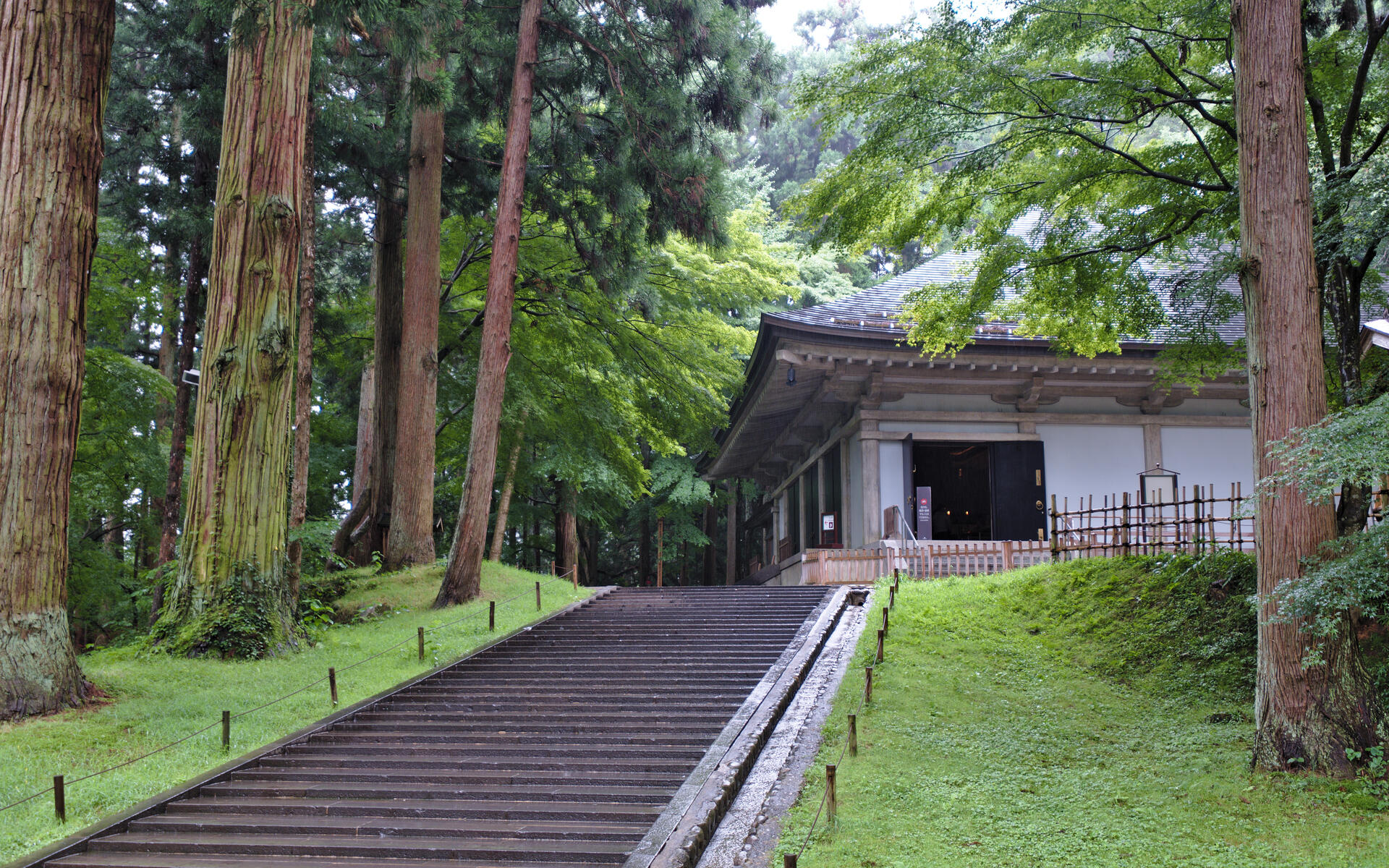
Exploring the Buddhist Pure Land at Hiraizumi, Japan
The serene landscapes of Hiraizumi, located in the Iwate Prefecture of Japan, offer a unique glimpse into the country's rich cultural history. Designated as a UNESCO World Heritage Site in 2011, Hiraizumi – Temples, Gardens and Archaeological Sites Representing the Buddhist Pure Land comprises five significant sites that reflect the region's role as a center of power during the Heian and Kamakura periods (11th and 12th centuries). This article delves into the historical, architectural, and spiritual aspects of these sites, providing insights into the Buddhist Pure Land philosophy that shaped Hiraizumi.
More to come…UNESCO Description of the World Heritage Site
Hiraizumi - Temples, Gardens and Archaeological Sites Representing the Buddhist Pure Land comprises five sites, including the sacred Mount Kinkeisan. It features vestiges of government offices dating from the 11th and 12th centuries when Hiraizumi was the administrative centre of the northern realm of Japan and rivalled Kyoto. The realm was based on the cosmology of Pure Land Buddhism, which spread to Japan in the 8th century. It represented the pure land of Buddha that people aspire to after death, as well as peace of mind in this life. In combination with indigenous Japanese nature worship and Shintoism, Pure Land Buddhism developed a concept of planning and garden design that was unique to Japan.
UNESCO Justification of the World Heritage Site
Criterion (ii): The temples and Pure Land gardens of Hiraizumi demonstrate in a remarkable way how the concepts of garden construction introduced from Asia along with Buddhism evolved on the basis of Japan's ancient nature worship, Shintoism, and eventually developed into a concept of planning and garden design that was unique to Japan. The gardens and temples of Hiraizumi influenced those in other cities, notably Kamakura where one of the temples was based on Chûson-ji.
Criterion (vi): The Pure Land Gardens of Hiraizumi clearly reflect the diffusion of Buddhism over south-east Asia and the specific and unique fusion of Buddhism with Japan's indigenous ethos of nature worship and ideas of Amida's Pure Land of Utmost Bliss. The remains of the complex of temples and gardens in Hiraizumi are symbolic manifestations of the Buddhist Pure Land on this earth.
Encyclopedia Record: Historic Monuments and Sites of Hiraizumi
Hiraizumi – Temples, Gardens and Archaeological Sites Representing the Buddhist Pure Land is a grouping of five sites from late eleventh- and twelfth-century Hiraizumi, Iwate Prefecture, Japan. The serial nomination was inscribed on the UNESCO World Heritage List in 2011, under criteria ii and vi.Additional Site Details
Area: 176.2 hectares
Number of Components: 5
(vi) — Directly associated with events or living traditions
Coordinates: 39.0011111111 , 141.1077777778
Image
© _steffen, CC BY-SA 2.0 Resized from original. (This derivative is under the same CC BY-SA license.)
