World Heritage Identification Number: 1435
World Heritage since: 2014
Category: Cultural Heritage
WHE Type: Archaeological Sites
Transboundary Heritage: No
Endangered Heritage: No
Country: 🇺🇸 United States of America
Continent: Americas
UNESCO World Region: Europe and North America
Map
Monumental Earthworks of Poverty Point: A Prehistoric Masterpiece in the Lower Mississippi Valley
The Monumental Earthworks of Poverty Point, located in the Lower Mississippi Valley, is a testament to the ingenuity and architectural prowess of the prehistoric Poverty Point culture. This archaeological site, inscribed as a UNESCO World Heritage Site in 2014, is nestled on a slightly elevated and narrow landform, earning its name from a nearby 19th-century plantation.
More to come…UNESCO Description of the World Heritage Site
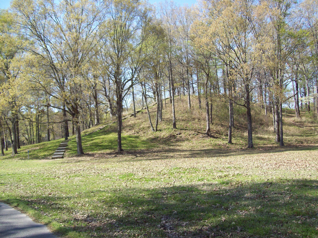
Monumental Earthworks of Poverty Point owes its name to a 19th-century plantation close to the site, which is in the Lower Mississippi Valley on a slightly elevated and narrow landform. The complex comprises five mounds, six concentric semi-elliptical ridges separated by shallow depressions and a central plaza. It was created and used for residential and ceremonial purposes by a society of hunter fisher-gatherers between 3700 and 3100 BP. It is a remarkable achievement in earthen construction in North America that was unsurpassed for at least 2,000 years.
UNESCO Justification of the World Heritage Site
Criterion (iii): Poverty Point Monumental Earthworks bear exceptional testimony to a vanished cultural tradition, the Poverty Point culture, centred in the Lower Mississippi Valley during the Late Archaic period, 4,000-2,500 years ago. This site, which dates to 3,700-3,100 BP, is an outstanding example of landscape design and monumental earthwork construction by a population of hunter-fisher-gatherers. The mound complex is a singular achievement in earthen construction in North America: it was not surpassed for at least 2,000 years (and only then by people supported by a farming economy). The particular layout of the complex is unique to this site. The natural setting of this inland settlement was an important factor in the site’s establishment and longevity. The location provided easy access to the Mississippi River valley and the hardwood forests along its margins. Although rich in edible resources, the setting lacked stone, a critical raw material for tools and other objects. Thus, an extensive trade network for rocks and minerals from hundreds of kilometres away played a key role in the Poverty Point phenomenon.
Encyclopedia Record: Poverty Point
Poverty Point State Historic Site/Poverty Point National Monument is a prehistoric earthwork constructed by the Poverty Point culture, located in present-day northeastern Louisiana. Evidence of the Poverty Point culture extends throughout much of the Southeastern Woodlands of the Southern United States. The culture extended 100 miles (160 km) across the Mississippi Delta and south to the Gulf Coast.Additional Site Details
Area: 163 hectares
Number of Components: 1
Coordinates: 32.6369444444 , -91.4063888889
Image
© https://www.flickr.com/photos/15308454@N06/ Kniemla, CC BY-SA 2.0 Resized from original. (This derivative is under the same CC BY-SA license.)
