World Heritage Identification Number: 606
World Heritage since: 1991
Category: Cultural Heritage
WHE Type: Protected Areas & National Parks
Transboundary Heritage: No
Endangered Heritage: No
Country: 🇧🇷 Brazil
Continent: Americas
UNESCO World Region: Latin America and the Caribbean
Map
Serra da Capivara National Park: A Window into Ancient Human History
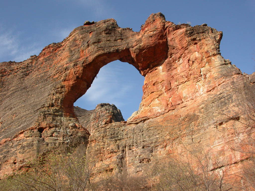
The Serra da Capivara National Park, located in the northeastern region of Brazil, stands as a testament to one of the oldest human communities in South America. Established in 1987 and inscribed as a UNESCO World Heritage Site in 1991, this protected area offers a unique glimpse into the lives of our ancestors dating back over 25,000 years.
More to come…UNESCO Description of the World Heritage Site
Many of the numerous rock shelters in the Serra da Capivara National Park are decorated with cave paintings, some more than 25,000 years old. They are an outstanding testimony to one of the oldest human communities of South America.
UNESCO Justification of the World Heritage Site
Criterion (iii): The Serra da Capivara National Park bears exceptional testimony to one of the oldest populations to inhabit South America. It constitutes and preserves the largest ensemble of archaeological sites, and the the oldest examples of rock art in the Americas. Moreover, the iconography of the paintings allows us to identify information about the region’s early peoples.
Encyclopedia Record: Serra da Capivara National Park
Serra da Capivara National Park is a national park in the Northeastern region of Brazil. The area has many prehistoric paintings.Additional Site Details
Area: 130,600 hectares
Number of Components: 1
Coordinates: -8.718634 , -42.652436