World Heritage Identification Number: 1469
World Heritage since: 2015
Category: Cultural Heritage
WHE Type: Cultural Landscapes
Transboundary Heritage: No
Endangered Heritage: No
Country: 🇩🇰 Denmark
Continent: Europe
UNESCO World Region: Europe and North America
Map
The Par Force Hunting Landscape in North Zealand: A Cultural Legacy of Power and Nature
The Par Force Hunting Landscape in North Zealand, located approximately 30 kilometers northeast of Copenhagen, Denmark, stands as a testament to the intersection of power, nature, and design that characterized the absolute monarchy of the 17th and 18th centuries. Inscribed as a UNESCO World Heritage Site in 2015, this cultural landscape encompasses the two hunting forests of Store Dyrehave and Gribskov, as well as the hunting park of Jægersborg Hegn/Jægersborg Dyrehave.
More to come…UNESCO Description of the World Heritage Site
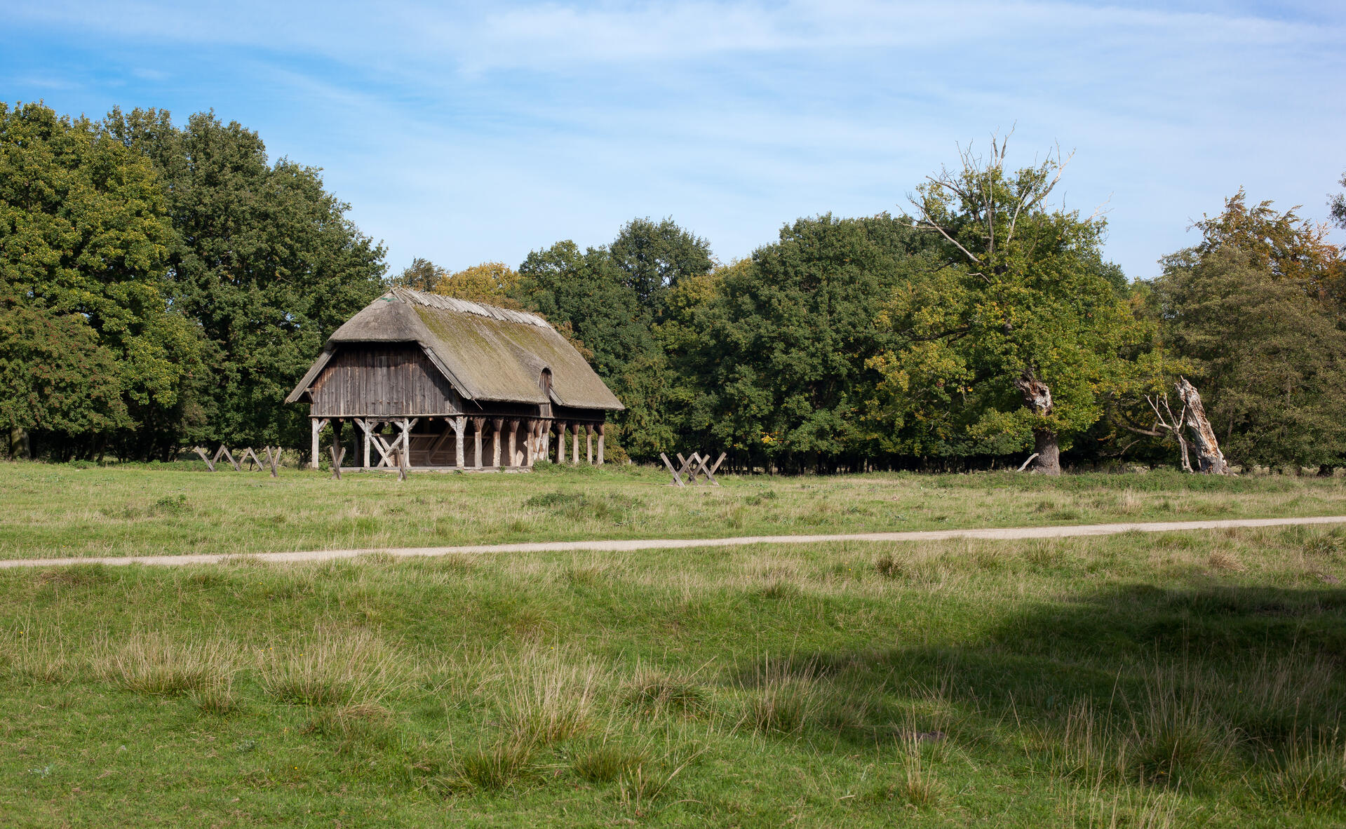
Located about 30 km northeast of Copenhagen, this cultural landscape encompasses the two hunting forests of Store Dyrehave and Gribskov, as well as the hunting park of Jægersborg Hegn/Jægersborg Dyrehave. This is a designed landscape where Danish kings and their court practiced par force hunting, or hunting with hounds, which reached its peak between the 17th and the late 18th centuries, when the absloute monarchs transformed it into a landscape of power. With hunting lanes laid out in a star system, combined with an orthogonal grid pattern, numbered stone posts, fences and a hunting lodge, the site demonstrates the application of Baroque landscaping principles to forested areas.
UNESCO Justification of the World Heritage Site
Criterion (ii): The par force hunting landscape in North Zealand exceptionally exemplifies how the interchange of Baroque values in Europe influenced developments in landscape design in the 17th-18th centuries, and particularly bears witness to the influence exerted by French and German designed hunting landscapes. These models were adapted to the specific situation of the Danish terrain and to the Danish kings’ aspirations. The series illustrates a development in design that evolved alongside the landscape function during par force hunts also in terms of its increasing symbolic significance.
Criterion (iv): As a landscape of power created by an absolute monarch in the late 17th century, the par force hunting landscape in North Zealand exemplifies a significant stage in European landscape design applied to hunting grounds when the rise of scientific thought took place within the context of absolutist ambitions. The orthogonal geometry conceived for its design improved the octagon or circle-based star network used in French or German examples. In its infinite expandability, the orthogonal grid could give equal access to all parts of the forest; differently from radial examples, its diagonals created more than one star point suitable for the rendez-vous.
Encyclopedia Record: Par force hunting landscape in North Zealand
The Par force hunting landscape in North Zealand is a collection of hunting grounds and forests north of Copenhagen. The landscape was submitted for admission to the UNESCO List of World Heritage Sites on 1 August 2010 and was inscribed on 4 July 2015. The landscape comprises three main areas: Store Dyrehave, Gribskov and Jægersborg Dyrehave/Jægersborg Hegn, and contains the most significant hunting grounds for the medieval nobility in Denmark. The central-star grid design of the landscape, with numbered roads and stone posts, fences, demonstrates the unique planning and design of hunting landscapes in the 17th and 18th centuries.Additional Site Details
Area: 4,543 hectares
Number of Components: 9
(iv) — Outstanding example of a type of building or landscape
Coordinates: 55.9136111111 , 12.3577777778
Image
© Lars Plougmann from United States, CC BY-SA 2.0 Resized from original. (This derivative is under the same CC BY-SA license.)
