World Heritage Identification Number: 1351
World Heritage since: 2010
Category: Cultural Heritage
WHE Type: Historic Cities & Urban Areas
Transboundary Heritage: No
Endangered Heritage: No
Country: 🇲🇽 Mexico
Continent: Americas
UNESCO World Region: Latin America and the Caribbean
Map
The Camino Real de Tierra Adentro: A Historical Trade Route Connecting Mexico and North America
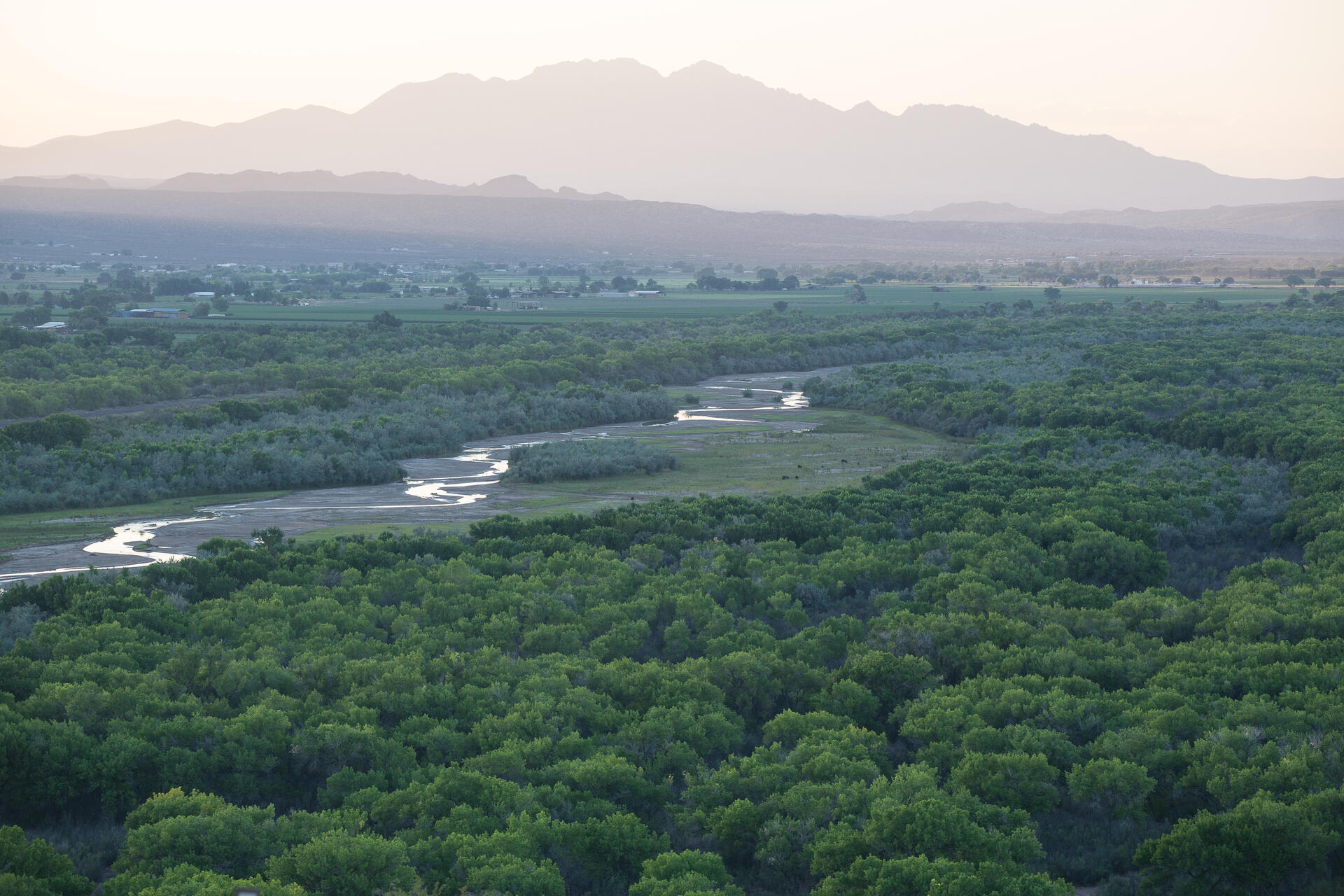
The Camino Real de Tierra Adentro, or the Royal Inland Road, is a significant historical trade route that connected Mexico City to Texas and New Mexico, United States of America, spanning approximately 2,600 kilometers. This route, also known as the Silver Route, was inscribed as a UNESCO World Heritage Site in 2010, recognizing its importance in fostering cultural, social, and religious links between Spanish and indigenous cultures over a period of three centuries.
More to come…UNESCO Description of the World Heritage Site
Camino Real de Tierra Adentro was the Royal Inland Road, also known as the Silver Route. The inscribed property consists of 55 sites and five existing World Heritage sites lying along a 1400 km section of this 2600 km route, that extends north from Mexico City to Texas and New Mexico, United States of America. The route was actively used as a trade route for 300 years, from the mid-16th to the 19th centuries, mainly for transporting silver extracted from the mines of Zacatecas, Guanajuato and San Luis Potosí, and mercury imported from Europe. Although it is a route that was motivated and consolidated by the mining industry, it also fostered the creation of social, cultural and religious links in particular between Spanish and Amerindian cultures.
UNESCO Justification of the World Heritage Site
Criterion (ii): The Camino Real de Tierra Adentro became one of the most important routes to bond the Spanish Crown with its northern domains in the Americas. Along the southern part of the route is a collection of sites related to work in mines and haciendas, merchant trading, military, evangelism and the administrative structure designed to control the immense territory from the Spanish metropolitan hub, adapted to the local environment, materials and technical practices, that reflect an outstanding interchange of cultural and religious ideas.
Criterion (iv): An ensemble of sites along the southern part of the Camino Real de Tierra Adentro, including examples of buildings, architectural and technological ensembles, illustrate a significant stage in human history - the Spanish colonial exploitation of silver and the transformation of associated rural and urban landscapes.
Encyclopedia Record: Camino Real de Tierra Adentro
El Camino Real de Tierra Adentro, also known as the Silver Route, was a Spanish 2,560-kilometre-long (1,590 mi) road between Mexico City and San Juan Pueblo, New Mexico, that was used from 1598 to 1882. It was the northernmost of the four major "royal roads" that linked Mexico City to its major tributaries during and after the Spanish colonial era.Additional Site Details
Area: 3,101.91 hectares
Number of Components: 60
(iv) — Outstanding example of a type of building or landscape
Coordinates: 22.6080555556 , -102.3791666667