World Heritage Identification Number: 772
World Heritage since: 2001
Category: Cultural Heritage
WHE Type: Cultural Landscapes
Transboundary Heritage: Yes
Endangered Heritage: No
Country: Austria, Hungary
Continent: Europe
UNESCO World Region: Europe and North America
Map
Fertö/Neusiedlersee Cultural Landscape: A Millennial Meeting Place of Cultures
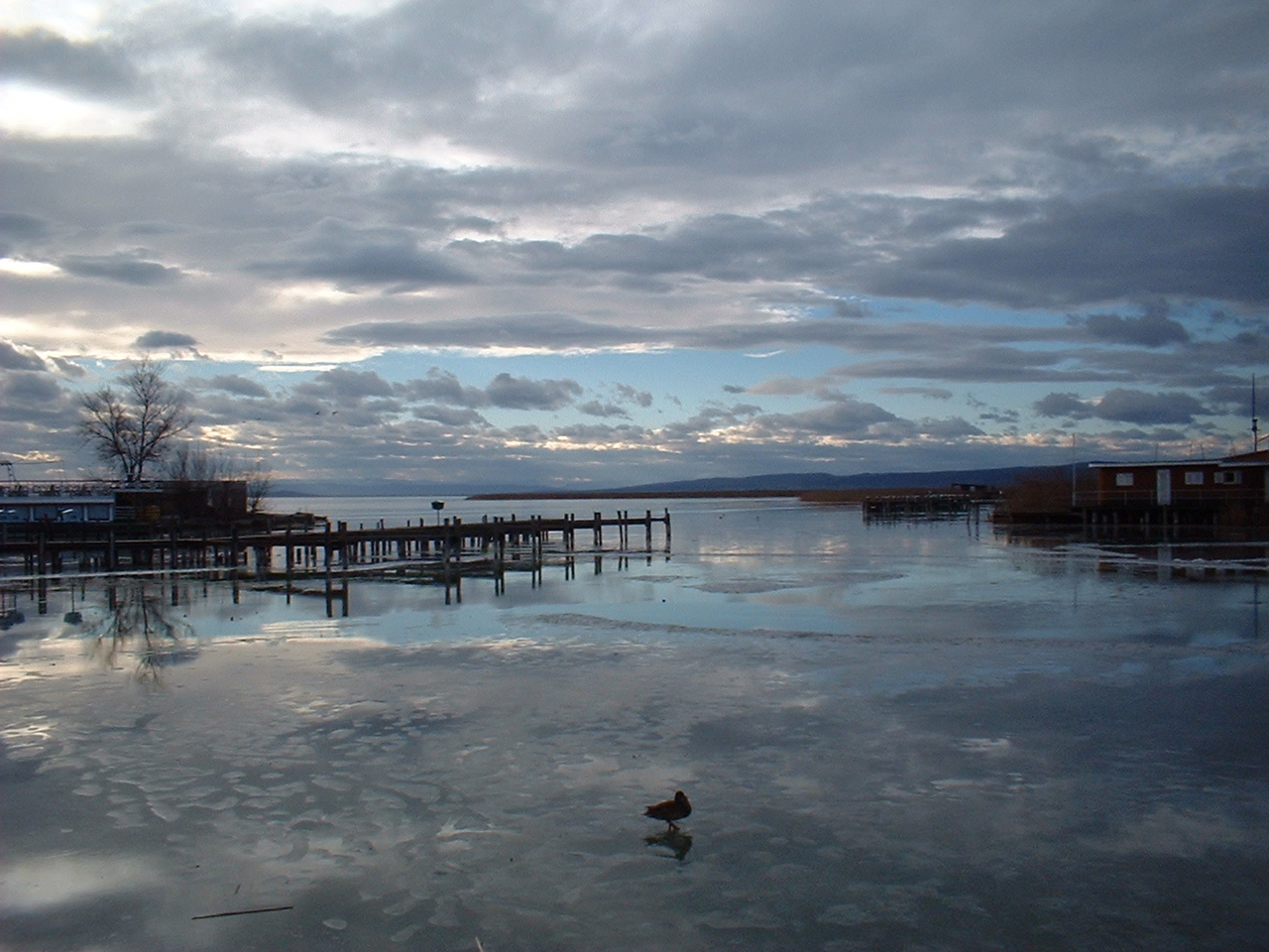
The Fertö/Neusiedlersee Cultural Landscape, inscribed as a UNESCO World Heritage Site in 2001, offers a unique blend of natural beauty and cultural richness that spans over eight millennia. Situated along the Austrian-Hungarian border, this site is home to the largest endorheic lake in Central Europe, Lake Neusiedl (Fertő in Hungarian).
More to come…UNESCO Description of the World Heritage Site
The Fertö/Neusiedler Lake area has been the meeting place of different cultures for eight millennia. This is graphically demonstrated by its varied landscape, the result of an evolutionary symbiosis between human activity and the physical environment. The remarkable rural architecture of the villages surrounding the lake and several 18th- and 19th-century palaces adds to the area’s considerable cultural interest.
UNESCO Justification of the World Heritage Site
Criterion (v): The Fertő/Neusiedlersee has been the meeting place of different cultures for eight millennia, and this is graphically demonstrated by its varied landscape, the result of an evolutionary and symbiotic process of human interaction with the physical environment.
Encyclopedia Record: Lake Neusiedl
Lake Neusiedl (German: Neusiedler See, Hungarian: Fertő) is the largest endorheic lake in Central Europe, straddling the Austrian–Hungarian border. The lake is saline and covers 315 km2 (122 sq mi), of which 240 km2 (93 sq mi) is on the Austrian side and 75 km2 (29 sq mi) on the Hungarian side. The lake's drainage basin has an area of about 1,120 km2 (430 sq mi). From north to south, the lake is about 36 km (22 mi) long, and it is between 6 km (3+1⁄2 mi) and 12 km (7+1⁄2 mi) wide from east to west. On average, the lake's surface is 115.45 m (378.8 ft) above the Adriatic Sea and the lake is no more than 1.8 m (5 ft 11 in) deep.Additional Site Details
Area: 68,369 hectares
Number of Components: 1
Coordinates: 47.71927778 , 16.72272222
Image
© Lutz Fischer-Lamprecht, CC BY-SA 4.0 Resized from original. (This derivative is under the same CC BY-SA license.)