World Heritage Identification Number: 1160
World Heritage since: 2004
Category: Cultural Heritage
WHE Type: Cultural Landscapes
Transboundary Heritage: No
Endangered Heritage: No
Country: 🇦🇩 Andorra
Continent: Europe
UNESCO World Region: Europe and North America
Map
The Cultural Landscape of Madriu-Perafita-Claror Valley: A Microcosm of High Pyrenean Resource Harvesting
Nestled within the heart of the Pyrenees, the Madriu-Perafita-Claror Valley stands as a testament to human resilience and adaptability in one of Europe's most challenging environments. Inscribed as a UNESCO World Heritage Site in 2004, this remote and largely untouched valley offers a unique glimpse into the millennial history of resource extraction, pastoralism, and cultural preservation in the high Pyrenees.
More to come…UNESCO Description of the World Heritage Site
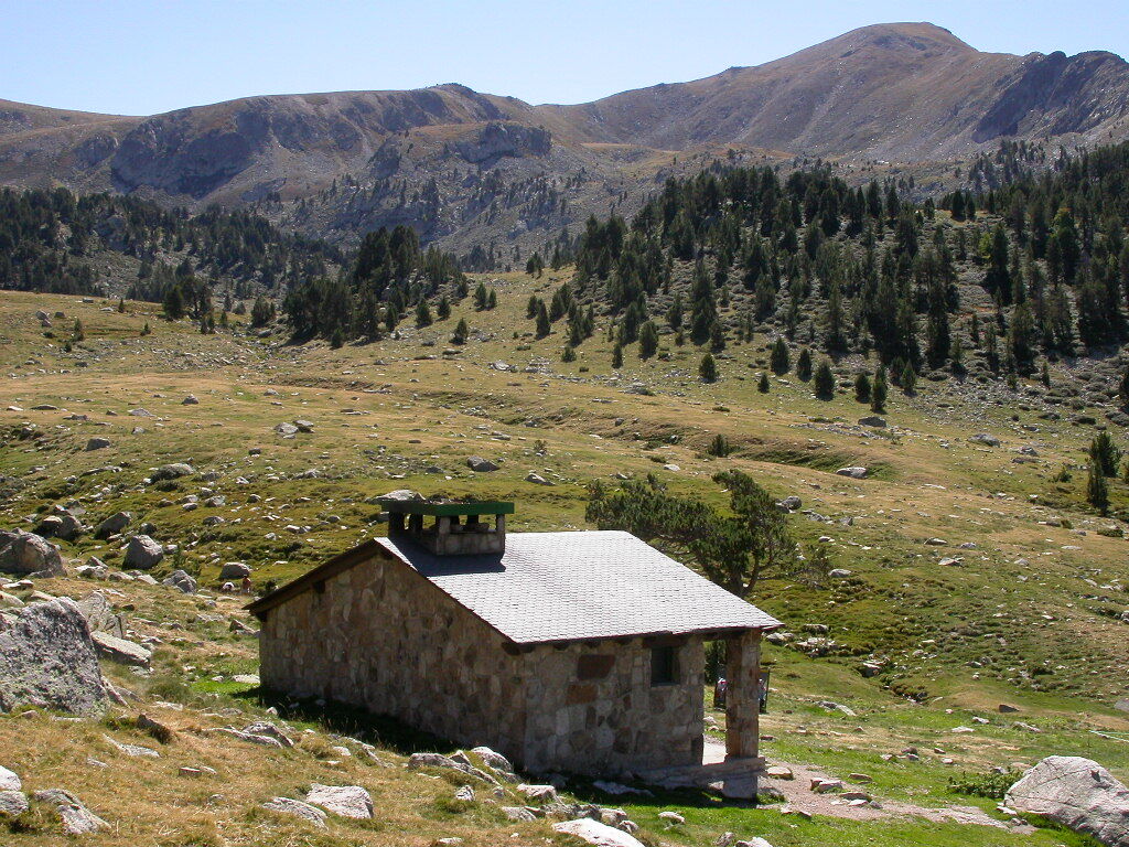
The cultural landscape of Madriu-Perafita-Claror Valley offers a microcosmic perspective of the way people have harvested the resources of the high Pyrenees over millennia. Its dramatic glacial landscapes of craggy cliffs and glaciers, with high open pastures and steep wooded valleys, covers an area of 4,247 ha, 9% of the total area of the principality. It reflects past changes in climate, economic fortune and social systems, as well as the persistence of pastoralism and a strong mountain culture, notably the survival of a communal land-ownership system dating back to the 13th century. The site features houses, notably summer settlements, terraced fields, stone tracks and evidence of iron smelting.
UNESCO Justification of the World Heritage Site
Criterion (v) : The Madriu-Perafita-Claror Valley is a microcosm of the way the inhabitants have harvested the scarce resources of the high Pyrenees over the past millennia to create a sustainable living environment in harmony with the mountain landscape. The valley is a reflection of an ancient communal system of land management that has survived over 700 years.
Encyclopedia Record: Madriu-Perafita-Claror Valley
The Madriu-Perafita-Claror Valley is a glacial valley in the southeast of Andorra. It covers an area of 42.47 km2, approximately 9% of the total area of Andorra, and is part of the second largest watershed basin in Andorra. The isolated valley is recognised as a haven for rare or endangered wildlife, and the undeveloped valley has recently been considered to be the "spiritual heart" of Andorra. It became Andorra's first, and to date its only, UNESCO World Heritage Site in 2004, with a small extension in 2006.Additional Site Details
Area: 4,247 hectares
Number of Components: 1
Coordinates: 42.49472222 , 1.595555556
Image
© Joan Simon, CC BY-SA 3.0 Resized from original. (This derivative is under the same CC BY-SA license.)
