World Heritage Identification Number: 1747
World Heritage since: 2025
Category: Natural Heritage
WHE Type: Natural Landscapes & Geographic Features
Transboundary Heritage: No
Endangered Heritage: No
Country: 🇧🇷 Brazil
Continent: Americas
UNESCO World Region: Latin America and the Caribbean
Map
Exploring the Stunning Geological Wonders of the Peruaçu River Canyon
The Peruaçu River Canyon, inscribed as a UNESCO World Heritage Site in 2025, showcases a breathtaking blend of geological formations, unique biodiversity, and rich history that draws visitors from around the world. Situated in the north of Minas Gerais, Brazil, this environmental protection area offers an unparalleled exploration into the heart of Earth's natural wonders.
More to come…UNESCO Description of the World Heritage Site
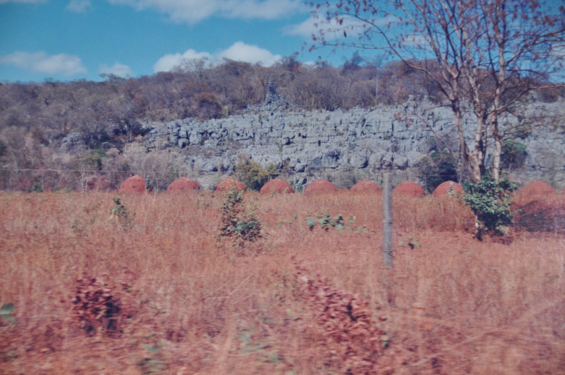
Located in northern Minas Gerais and featuring dramatic karst landscapes, vast caves, and rich biodiversity, the park’s horizontal cave systems, formed in carbonate rock, reveal striking speleothems, collapsed dolines, limestone arches, and underground rivers. Developed in the stable São Francisco craton, the landscape reflects major climatic and geological changes from the Plio-Pleistocene. The park lies at the intersection of the Cerrado, Caatinga, and Atlantic Forest biomes, supporting over 2,000 plant and animal species, including many threatened ones.
Encyclopedia Record: Cavernas do Peruaçu Environmental Protection Area
Cavernas do Peruaçu Environmental Protection Area is a protected area in the state of Minas Gerais, Brazil.Additional Site Details
Area: 38,003 hectares
Number of Components: 1
(viii) — Outstanding example representing major earth stages
Coordinates: -15.075 , -44.2083333333
Image
© Godoi vera, CC BY-SA 3.0 Resized from original. (This derivative is under the same CC BY-SA license.)
