World Heritage Identification Number: 1631
World Heritage since: 2021
Category: Cultural Heritage
WHE Type: Archaeological Sites
Transboundary Heritage: Yes
Endangered Heritage: No
Country: Germany, Netherlands (Kingdom of the)
Continent: Europe
UNESCO World Region: Europe and North America
Map
Exploring the Past: Frontiers of the Roman Empire – The Lower German Limes
The Frontiers of the Roman Empire – The Lower German Limes is a UNESCO World Heritage Site that spans approximately 400 km along the left bank of the Lower Rhine River in Germany and the Netherlands. This transnational property, inscribed in 2021, showcases an essential piece of European history, revealing the remnants of the Roman Empire's border defenses in this region during the 1st to 5th centuries CE.
The Lower German Limes served as the boundary between the Roman provinces of Germania Inferior and Germania Magna. It separated the territories under tight Roman control, including parts of the Rhineland in Germany and the southern Netherlands, from the less regulated areas to the east of the Rhine. The site encompasses over 100 components, including military installations, civilian settlements, and infrastructure, providing valuable insights into the daily life, culture, and strategic planning of the Romans during their occupation of the region.
Military structures constitute a significant portion of the Lower German Limes. Legionary fortresses, such as those at Xanten and Haltern, housed entire Roman legions and served as administrative centers. Forts, fortlets, and watchtowers dotted the landscape, providing protection against potential threats. Temporary camps were established during military campaigns or when reinforcements were needed. Roads, harbors, a fleet base, a canal, and an aqueduct facilitated the movement of troops and supplies.
Civilian settlements and towns also played a crucial role in the Lower German Limes. These communities provided essential services and resources for the Roman military presence. Cemeteries offer insight into the burial practices and cultural beliefs of the inhabitants. Sanctuaries, such as the Temple of Mercury at Elst, reveal the religious practices of the population. An amphitheater at Maastricht and a palace at Xanten provide evidence of leisure activities and the wealth and power of the Roman elite.
Despite being largely buried beneath the earth, the Lower German Limes offers a unique perspective on the Roman Empire's past. Waterlogged deposits in the area have ensured a high degree of preservation for both structural and organic materials from the Roman periods of occupation and use. This includes well-preserved wooden structures, textiles, and even food remains.
In conclusion, the Frontiers of the Roman Empire – The Lower German Limes is a testament to the ingenuity, resilience, and expansive reach of the Roman Empire. By exploring the military and civilian structures, infrastructure, and daily life of the people who inhabited this region during the Roman period, we gain a deeper understanding of the historical context and significance of this UNESCO World Heritage Site.
UNESCO Description of the World Heritage Site
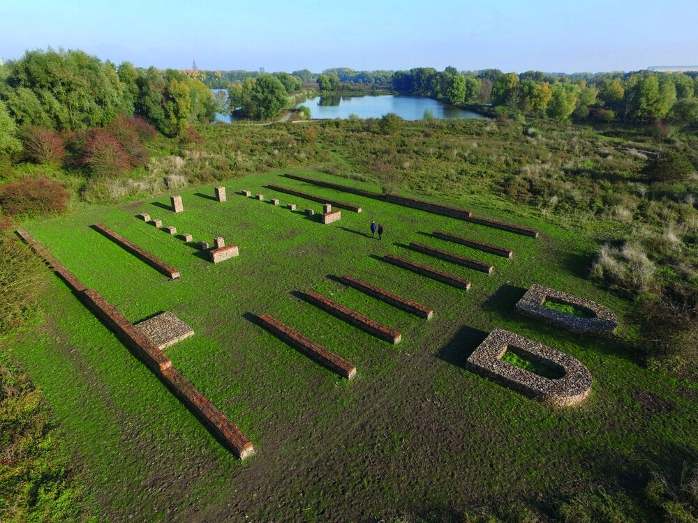
Following the left bank of the Lower Rhine River for approximately 400 km from the Rhenish Massif in Germany to the North Sea coast in the Netherlands, the transnational property consist of 102 components from one section of the frontiers of the Roman Empire, which in the 2nd century CE, stretched across Europe, the Near East, and North Africa, over 7,500 km. The property comprises military and civilian sites and infrastructure that marked the edge of Lower Germany from the 1st to 5th centuries CE. Archaeological remains in the property include legionary fortresses, forts, fortlets, towers, temporary camps, roads, harbours, a fleet base, a canal and an aqueduct, as well as civilian settlements, towns, cemeteries, sanctuaries, an amphitheatre, and a palace. Almost all of these archaeological remains are buried underground. Waterlogged deposits in the property have enabled a high degree of preservation of both structural and organic materials from the Roman periods of occupation and use.
UNESCO Justification of the World Heritage Site
Criterion (ii): The extant remains of Frontiers of the Roman Empire – The Lower German Limes constitute significant elements of the Roman Frontiers present in Europe. With its legionary fortresses, forts, fortlets, watchtowers, linked infrastructure and civilian architecture, it exhibits an important cultural interchange at the height of the Roman Empire, through the development of Roman military architecture, extending the technical knowledge of construction and management to the very edges of the Empire. It reflects the imposition of a complex frontier system on the societies of the north-western part of the Roman Empire, introducing military installations and related civilian settlements, linked through an extensive supporting network. The frontier did not constitute an impregnable barrier, but controlled and allowed the movement of peoples including civilians and merchants, and profound changes and developments in settlement patterns, architecture, landscape design and spatial organisation.
Criterion (iii): As part of the Roman Empire’s system of defence, the Lower German Limes bears an exceptional testimony to the maximum extension of the power of the Roman Empire through the consolidation of its north-western frontiers. The Frontier constitutes a physical manifestation of Roman imperial policy, and the spread of Roman culture and its traditions – military, engineering, architecture, religion, management and politics. The large number of human settlements associated with the defences contribute to an understanding of how soldiers and their families lived in this part of the Roman Empire.
Criterion (iv): Frontiers of the Roman Empire – The Lower German Limes was the earliest linear frontier of the Roman Empire, created as an answer to Rome’s inability to control its northern neighbours by means of diplomacy. Its military installations illustrate the development of the large operational bases of a field army to the smaller installations required by an extended frontier line. Situated in an area which has always been a wetland, with outstanding preservation conditions, Frontiers of the Roman Empire – The Lower German Limes exhibits water management strategies and constructions employed by the military command of the Roman Empire. The component parts contain organic materials and artefacts bearing information of exceptional value to understandings of frontier life and on vanished traditions such as river boat building.
Encyclopedia Record: Lower Germanic Limes
The Lower Germanic Limes is the former frontier between the Roman province of Germania Inferior and Germania Magna. The Lower Germanic Limes separated that part of the Rhineland left of the Rhine as well as the southern part of the Netherlands, which was part of the Roman Empire, from the less tightly controlled regions east of the Rhine.Additional Site Details
Area: 812.75 hectares
Number of Components: 102
(iii) — Unique or exceptional testimony to a cultural tradition
(iv) — Outstanding example of a type of building or landscape
Coordinates: 52.1803333333 , 4.433
Image
© Nederlandse Limes Samenwerking (NL). Used with permission.