World Heritage Identification Number: 1448
World Heritage since: 2017
Category: Natural Heritage
WHE Type: Natural Landscapes & Geographic Features
Transboundary Heritage: Yes
Endangered Heritage: No
Country: Mongolia, Russian Federation
Continent: Asia, Europe
UNESCO World Region: Asia and the Pacific,Europe and North America
Map
The Landscapes of Dauria: A Transboundary Testimony to Steppe Ecosystem Diversity
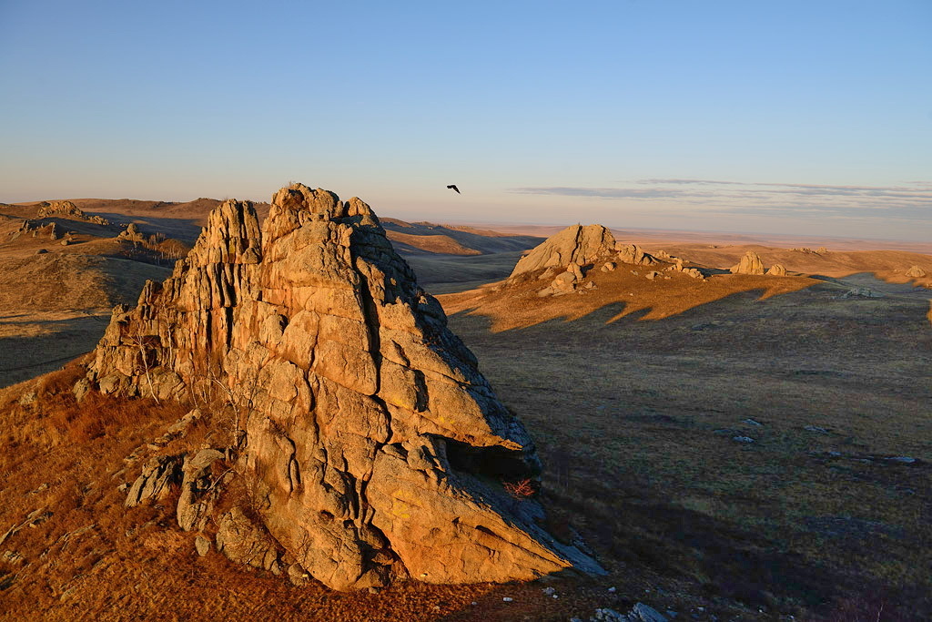
The Landscapes of Dauria, inscribed as a UNESCO World Heritage Site in 2017, stands as a remarkable testament to the rich biodiversity and ecological complexity of the Daurian Steppe eco-region, spanning across eastern Mongolia and Russian Siberia, with extensions into northeastern China. This expansive region, encompassing over 35,000 square kilometers, is a veritable sanctuary for a myriad of flora and fauna, showcasing a breathtaking array of steppe ecosystems, including grasslands, forests, lakes, and wetlands.
More to come…UNESCO Description of the World Heritage Site
Shared between Mongolia and the Russian Federation, this site is an outstanding example of the Daurian Steppe eco-region, which extends from eastern Mongolia into Russian Siberia and northeastern China. Cyclical climate changes, with distinct dry and wet periods lead to a wide diversity of species and ecosystems of global significance. The different types of steppe ecosystems represented, such as grassland and forest, as well as lakes and wetlands serve as habitats for rare species of fauna, such as the White-naped crane, Great Bustard, Relict Gull and Swan goose, as well as millions of vulnerable, endangered or threatened migratory birds. It is also a critical site on the transboundary migration path for the Mongolian gazelle.
UNESCO Justification of the World Heritage Site
Criterion (ix): The Landscapes of Dauria contains substantial and relatively undisturbed areas of different types of steppe, ranging from grassland to forest, as well as many lakes and wetlands. All these habitats host a diversity of species and communities characteristic of the northern part of the vast Daurian Steppe ecoregion. Cyclic climate changes with distinct wet and dry periods lead to high species and ecosystem diversity which is globally significant and offers outstanding examples of ongoing ecological and evolutionary processes. The property also includes key natural habitats for many animal species during their annual migration, some of which also breed in the area. The high diversity of ecosystems, biotopes and their transition-zones in the property is indicative of the many evolutionary adaptive processes undergone by species living in this unique area.
Criterion (x): The transboundary serial property conserves an excellent example of Daurian steppe and its characteristic wildlife including a number of globally threatened bird species (White-naped Crane, Hooded Crane, Swan Goose, Relict Gull, Great Bustard and Saker Falcon) as well as the endangered Tarbagan Marmot. It also provides essential breeding and resting habitat for birds along the East Asian-Australasian Flyway, with up to 3 million birds in spring and 6 million in autumn using the area during migration. The property also provides critical winter grounds and seasonal transboundary migration routes of the emblematic Mongolian Gazelle.
Encyclopedia Record: Landscapes of Dauria
The Landscapes of Dauria is a World Heritage Site shared between Russia and Mongolia, part of the "Daurian forest steppe" ecoregion. It is part of the Dauria International Protected Area and includes the Torey Lakes.Additional Site Details
Area: 912,624 hectares
Number of Components: 5
(x) — Contains most important habitats for biodiversity
Coordinates: 49.9302222222 , 115.4254444444
IUCN World Heritage Outlook
The 2025 Conservation Outlook on Landscapes of Dauria reports the following assessment:
Source: International Union for Conservation of Nature (IUCN) · View assessment
Image
© Игорь Шпиленок, CC BY-SA 3.0 Resized from original. (This derivative is under the same CC BY-SA license.)