World Heritage Identification Number: 1344
World Heritage since: 2012
Category: Cultural Heritage
WHE Type: Infrastructure & Industry
Transboundary Heritage: No
Endangered Heritage: No
Country: 🇧🇪 Belgium
Continent: Europe
UNESCO World Region: Europe and North America
Map
Major Mining Sites of Wallonia: A Unique Industrial Legacy in Southern Belgium
The Major Mining Sites of Wallonia, inscribed as a UNESCO World Heritage Site in 2012, offers a fascinating glimpse into the rich history of the Belgian coal mining industry during the 19th and 20th centuries. This unique ensemble, located in the French-speaking provinces of Hainaut and Liège, comprises four distinct sites that showcase the architectural, social, and technological advancements of the time.
More to come…UNESCO Description of the World Heritage Site
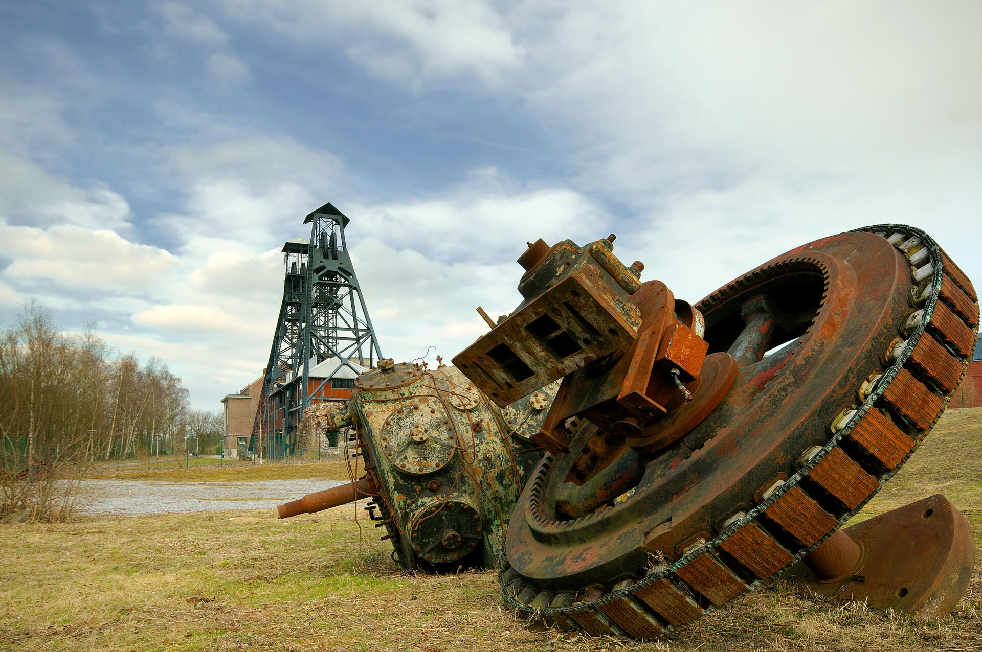
The four sites of the property form a strip 170 km long by 3–15 km wide, crossing Belgium from east to west, consisting of the best-preserved 19th- and 20th-century coal-mining sites of the country. It features examples of the utopian architecture from the early periods of the industrial era in Europe within a highly integrated, industrial and urban ensemble, notably the Grand-Hornu colliery and workers’ city designed by Bruno Renard in the first half of the 19th century. Bois-du-Luc includes numerous buildings erected from 1838 to 1909 and one of Europe’s oldest collieries dating back to the late 17th century. While Wallonia had hundreds of collieries, most have lost their infrastructure, while the four components of the listed site retain a high measure of integrity.
UNESCO Justification of the World Heritage Site
Criterion (ii): Among the earliest and largest in Europe, the four Walloon coalmines are testimony to the early dissemination of the technical, social and urban innovations of the industrial revolution. They then played a major exemplary role on the technical and social levels through to recent times. Finally, they are one of the most important sites of interculturalism arising out of mass industry through the participation of workers from other regions of Belgium, Europe and later Africa.
Criterion (iv): The ensemble of the four Walloon mining sites provides an eminent and complete example of the world of industrial mining in continental Europe, at various stages of the industrial revolution. It bears significant testimony to its industrial and technological components, its urban and architectural choices, and its social values, especially following the Bois-du-Cazier disaster (1956).
Encyclopedia Record: Major Mining Sites of Wallonia
The Major Mining Sites of Wallonia is a UNESCO World Heritage Site comprising four sites in Wallonia in southern Belgium associated with the Belgian coal mining industry of the 19th and 20th centuries. The four sites of the grouping, situated in the French-speaking Hainaut Province and Liège Province, comprise Grand-Hornu, the Bois-du-Luc, the Bois du Cazier and Blegny-Mine.Additional Site Details
Area: 118.07 hectares
Number of Components: 4
(iv) — Outstanding example of a type of building or landscape
Coordinates: 50.4352777778 , 3.8383333333
Image
© Luc Viatour, CC BY-SA 3.0 Resized from original. (This derivative is under the same CC BY-SA license.)
