World Heritage Identification Number: 1201
World Heritage since: 2025
Category: Cultural Heritage
WHE Type: Cultural Landscapes
Transboundary Heritage: No
Endangered Heritage: No
Country: 🇲🇼 Malawi
Continent: Africa
UNESCO World Region: Africa
Map
Sacred Mountain Mulanje: A Unique Cultural Landscape in Southern Malawi
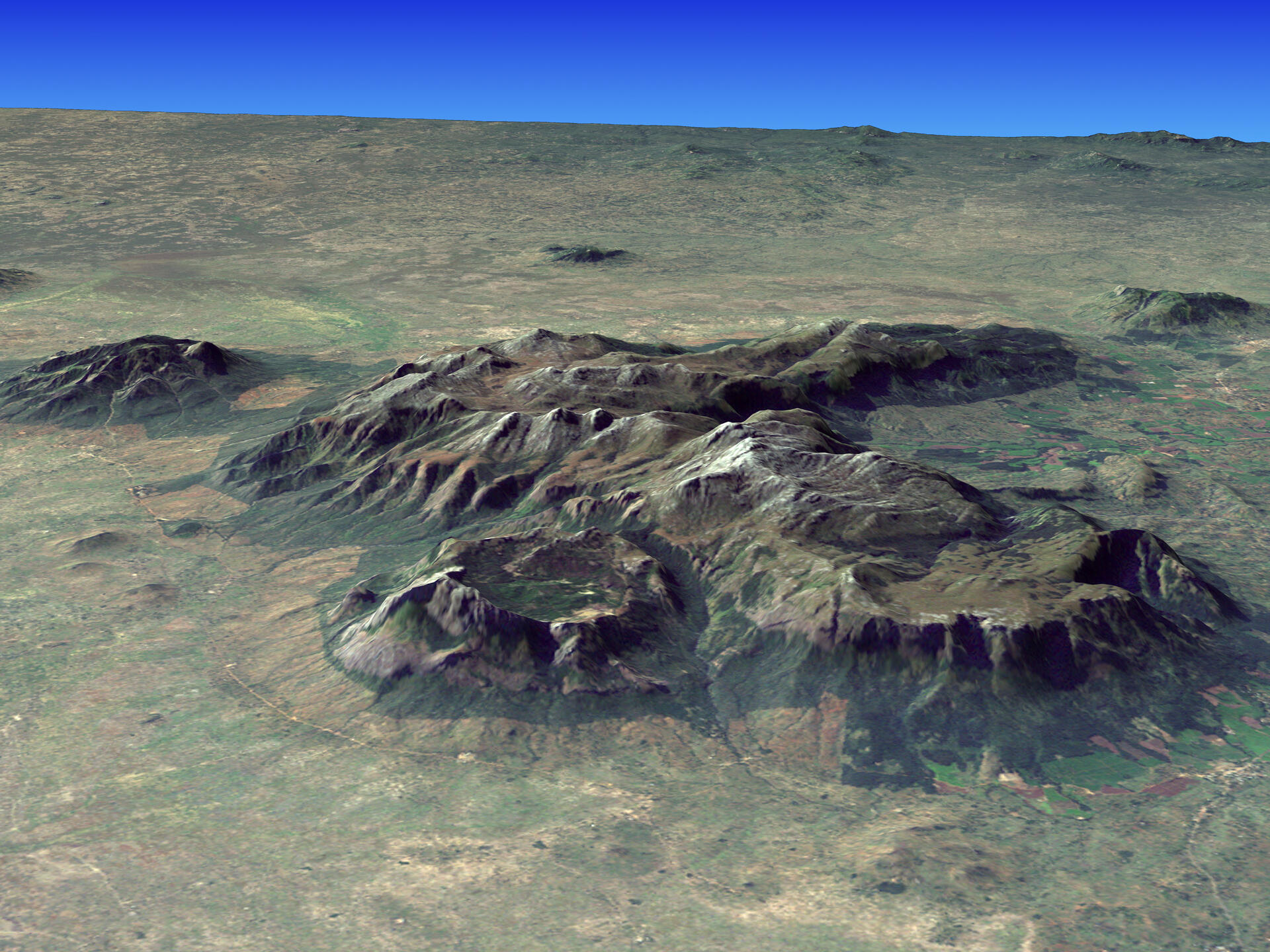
The Mount Mulanje Cultural Landscape, inscribed as a UNESCO World Heritage Site in 2025, offers a remarkable blend of natural beauty, rich cultural heritage, and spiritual significance. Situated in the southeastern region of Malawi, this property encompasses the majestic Mount Mulanje, one of the world's largest inselbergs, and its surrounding environment.
More to come…UNESCO Description of the World Heritage Site
This property encompasses the mountain range located in southern Malawi, with the imposing Mount Mulanje—one of the world’s largest inselbergs—and its surrounding environment. Revered as a sacred place inhabited by gods, spirits, and ancestors, it holds deep cultural and spiritual significance. The mountain’s geological and hydrological features are connected with the belief systems and cultural practices of the Yao, Mang’anja, and Lhomwe peoples. These communities have sustained the mountain’s sacredness through rituals and traditions, making the site a sacred cultural landscape that reflects the spiritual and ecological harmony between people and nature.
Encyclopedia Record: Mulanje Massif
The Mulanje Massif, also known as Mount Mulanje, is a large inselberg and World Heritage Site in southern Malawi. Sapitwa Peak, the highest point on the massif at 3,002 m, is the highest point in Malawi. It lies 65 km east of Blantyre, rising sharply from the surrounding plains of Phalombe and the Mulanje district. It forms part of a proposed ecoregion, to be called the South East Africa Montane Archipelago (SEAMA).Additional Site Details
Area: 89,549 hectares
Number of Components: 1
(vi) — Directly associated with events or living traditions
Coordinates: -15.9116666667 , 35.6580555556
Image
Jesse Allen, NASA Earth Observatory, using Landsat data and SRTM data courtesy of the University of Maryland’s Global Land Cover Facility, Public domain
