World Heritage Identification Number: 1744
World Heritage since: 2025
Category: Cultural Heritage
WHE Type: Archaeological Sites
Transboundary Heritage: No
Endangered Heritage: No
Country: 🇮🇷 Iran (Islamic Republic of)
Continent: Asia
UNESCO World Region: Asia and the Pacific
Map
Prehistoric Sites of the Khorramabad Valley: A Window into Early Human Evolution
The Prehistoric Sites of the Khorramabad Valley, inscribed as a UNESCO World Heritage Site in 2025, offer a unique glimpse into the early stages of human evolution and migration patterns. Located within the picturesque Khorramabad Valley in Iran's Lorestan province, these sites span over 63,000 years of history, providing valuable insights into the Middle to Upper Palaeolithic periods.
More to come…UNESCO Description of the World Heritage Site
The prehistoric sites of the Khorramabad Valley include five caves and one rock shelter within a narrow ecological corridor rich in water, flora, and fauna. Human occupation dates back 63,000 years, with evidence from the Middle to Upper Palaeolithic periods. These sites reveal Mousterian and Baradostian cultures, offering insights into early human evolution and migration from Africa to Eurasia. Artifacts such as decorative objects and advanced stone tools highlight the cognitive and technological development of early humans in the Zagros Mountains. The area remains underexplored, holding significant potential for future archaeological discoveries.
UNESCO Justification of the World Heritage Site
Criterion (iii): The Prehistoric Sites of the Khorramabad Valley, with the shell pendants sourced from the distant Persian Gulf and ornaments fashioned from deer canine teeth, are an outstanding manifestation of the emergence and evolution of symbolic communication, a crucial aspect of modern human cognitive development. This evidence, alongside sophisticated stone tool technologies, is an exceptional testimony to the Upper Palaeolithic Baradostian culture on a global scale. The caves and shelters bear witness to the domination of the Neanderthals, to the arrival and expansion of the anatomically modern humans who eventually supplanted the Neanderthals in the valley, and provide insight into the migratory route of human dispersal out of Africa.
Encyclopedia Record: Khorramabad
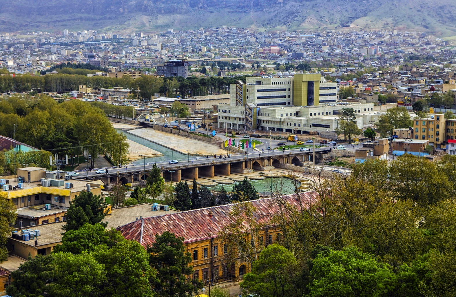
Khorramabad is a city in the Central District of Khorramabad County, Lorestan province, Iran, serving as capital of the province, the county, and the district. Situated in a scenic valley surrounded by mountains, the city lies approximately 100 kilometers east of the Iraqi border.Additional Site Details
Area: 394.46 hectares
Number of Components: 6
Coordinates: 33.4921083333 , 48.3455722222