World Heritage Identification Number: 1141
World Heritage since: 2010
Category: Cultural Heritage
WHE Type: Archaeological Sites
Transboundary Heritage: No
Endangered Heritage: No
Country: 🇹🇯 Tajikistan
Continent: Asia
UNESCO World Region: Asia and the Pacific
Map
Sarazm: A Window into Early Urbanization in Central Asia
The Proto-urban Site of Sarazm, located in north-western Tajikistan, offers a unique glimpse into the early stages of urbanization in Central Asia during the 4th millennium BCE. Inscribed as a UNESCO World Heritage Site in 2010, Sarazm serves as a testament to the development of human settlements in this region, providing valuable insights into the social, economic, and cultural life of its inhabitants.
More to come…UNESCO Description of the World Heritage Site
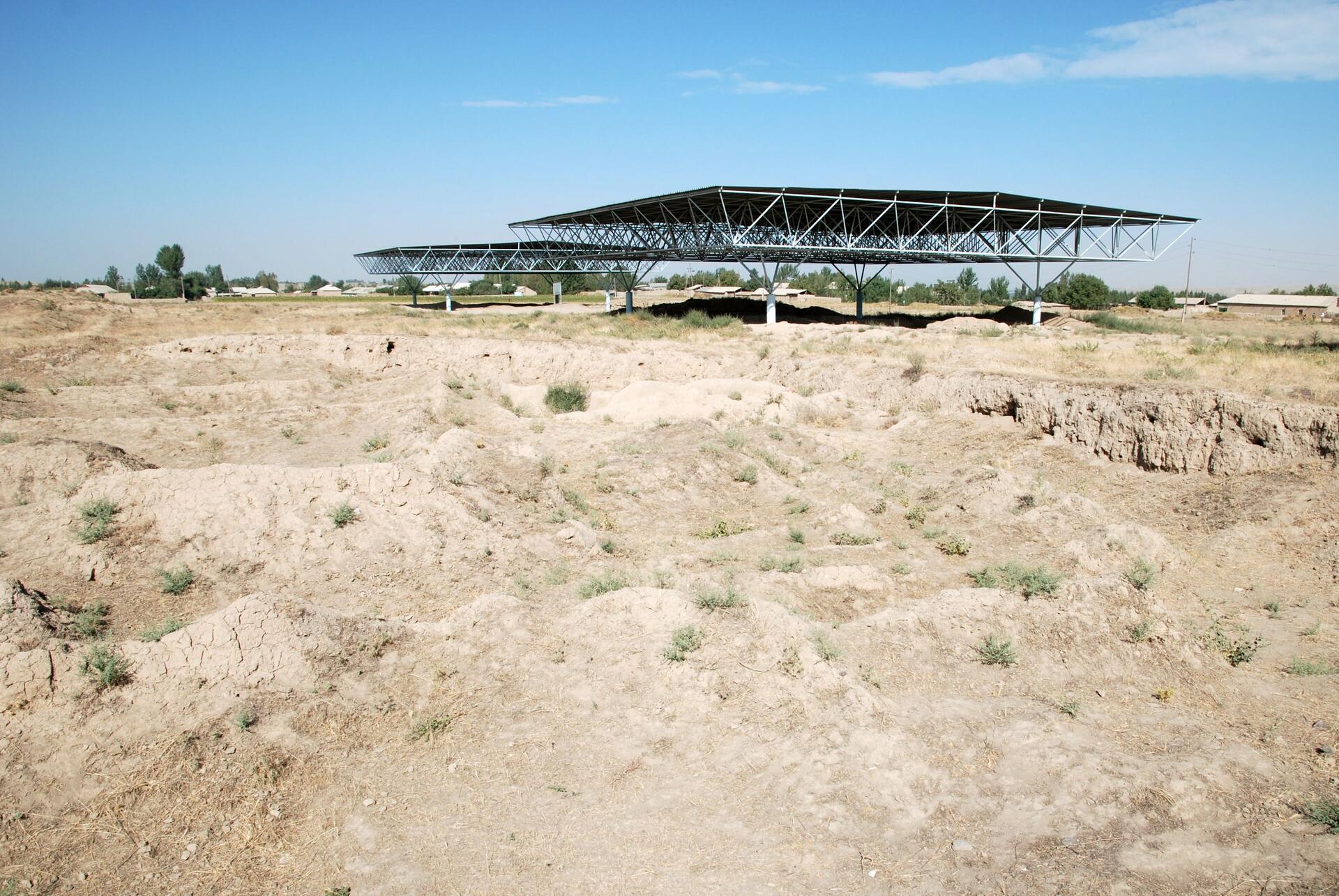
Sarazm, which means “where the land begins”, is an archaeological site bearing testimony to the development of human settlements in Central Asia, from the 4th millennium BCE to the end of the 3rd millennium BCE. The ruins demonstrate the early development of proto-urbanization in this region. This centre of settlement, one of the oldest in Central Asia, is situated between a mountainous region suitable for cattle rearing by nomadic pastoralists, and a large valley conducive to the development of agriculture and irrigation by the first settled populations in the region. Sarazm also demonstrates the existence of commercial and cultural exchanges and trade relations with peoples over an extensive geographical area, extending from the steppes of Central Asia and Turkmenistan, to the Iranian plateau, the Indus valley and as far as the Indian Ocean.
UNESCO Justification of the World Heritage Site
Criterion (ii): The Proto-urban Site of Sarazm bears testimony, from the 4th millennium BCE, to trade and cultural interchanges between the pastoral nomads of the mountains of Central Asia and the agrarian peoples of Transoxiane. Later, particularly in the Bronze Age, the Proto-urban Site of Sarazm complemented and extended its activities with metallurgy and handicrafts, demonstrating the existence of a network of a diversity of interchanges on a very large scale. The Proto-urban Site of Sarazm had connections with the steppes of Central Asia, and in addition with the Turkmenian, proto-Elamite, Mesopotamian, and Indus worlds.
Criterion (iii): The Proto-urban Site of Sarazm constitutes a remarkable human settlement, exceptional in its geographical situation, in Central Asia, in the 4th and 3rd millennia BCE, to which its proto-urban and architectural remains and its archaeological findings bear witness. The town played a regional role over a long period and on a very large scale in the working of metals, particularly tin and copper, and the associated development of handicrafts to produce tools, ceramics, and jewellery. The Proto-urban Site of Sarazm is one of the places that gave birth to and saw the development of the major trans-Eurasian trade routes.
Encyclopedia Record: Sarazm
Sarazm is an ancient town and also a jamoat in north-western Tajikistan. It dates back to the 4th millennium BC, with C14 dates ranging from 3900-2100 BC, and is today a UNESCO World Heritage Site. The jamoat is part of the city of Panjakent in Sughd Region, and has a total population of 27,877 (2015). It consists of 21 villages, including Chimqal'a, Abdusamad, Bostondeh, Kamar, Kamar-Tash and Sohibnazar.Additional Site Details
Area: 15.93 hectares
Number of Components: 1
(iii) — Unique or exceptional testimony to a cultural tradition
Coordinates: 39.5078888889 , 67.4587222222
Image
© Bertramz, CC BY-SA 3.0 Resized from original. (This derivative is under the same CC BY-SA license.)
