World Heritage Identification Number: 1375
World Heritage since: 2023
Category: Cultural Heritage
WHE Type: Historic Cities & Urban Areas
Transboundary Heritage: No
Endangered Heritage: No
Country: 🇮🇳 India
Continent: Asia
UNESCO World Region: Asia and the Pacific
Map
The Cultural Oasis of Santiniketan: A Unique Blend of Tradition and Modernity
The small town of Santiniketan, nestled in the Birbhum district of West Bengal, India, stands as a testament to the harmonious fusion of tradition and modernity. Inscribed as a UNESCO World Heritage Site in 2023, this cultural oasis was the brainchild of Rabindranath Tagore, the revered poet and philosopher, who envisioned a space that transcended religious and cultural boundaries.
More to come…UNESCO Description of the World Heritage Site
Established in rural West Bengal in 1901 by the renowned poet and philosopher Rabindranath Tagore, Santiniketan was a residential school and centre for art based on ancient Indian traditions and a vision of the unity of humanity transcending religious and cultural boundaries. A ‘world university’ was established at Santiniketan in 1921, recognizing the unity of humanity or “Visva Bharati”. Distinct from the prevailing British colonial architectural orientations of the early 20th century and of European modernism, Santiniketan represents approaches toward a pan-Asian modernity, drawing on ancient, medieval and folk traditions from across the region.UNESCO Justification of the World Heritage Site
Criterion (iv): Santiniketan was an experimental settlement in education and communal life in a rural setting. The community was in many ways meant to represent a uniquely Indian example of a ‘total work of art’ (Gesamtkunstwerk) where life, learning, work and art along with the local and the global intertwined seamlessly. The built and open spaces constitute an exceptional global testimony to ideas of environmental art and educational reform where progressive education and visual art are intertwined with architecture and landscape: with the Ashram, Uttarayan, and Kala-Bhavana areas forming the prime sites of these practices in the most significant periods of development. Santiniketan represents in an outstanding way, the emergence of post-colonial centres of cultural, philosophical and spiritual exploration in the early 20th century in south Asia.
Criterion (vi): Santiniketan is directly and tangibly associated with the ideas, works and vision of Rabindranath Tagore and his associates, pioneers of the Bengal School of Art and early Indian Modernism. Against the backdrop of the Partition of Bengal, Santiniketan became the crucible for an artistic and intellectual renaissance in the early 20th century. As a cultural and intellectual incubator, it had an indelible imprint on the leaders of the Indian Freedom Movement, including Mahatma Gandhi, Nehru and Indira Gandhi. The significant influence of the ideals and philosophies represented in Santiniketan are demonstrated at other early 20th-century locations of cultural learning in south Asia. Santiniketan represents the distillation of the ideas and continuing legacy of a unique model of education recalling ancient Indian ideas as well as internationalism through a living institution, embodied in the buildings, landscape, artworks and continuing festivals and traditions. And while many of Tagore’s art and literary works bear a unique association with Santiniketan, his experimentation through education with an internationalist humanist ideology finds its manifest reflection in Santiniketan.
Encyclopedia Record: Shantiniketan
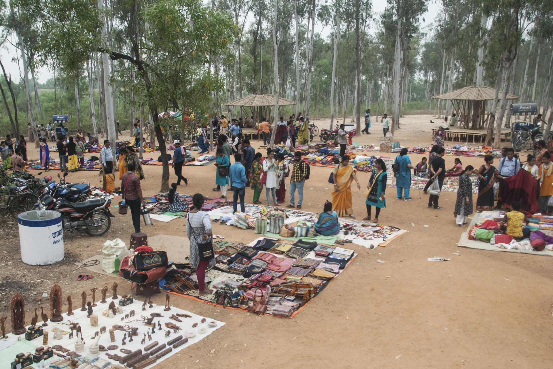
Shantiniketan is a neighbourhood of Bolpur town in the Bolpur subdivision of Birbhum district in West Bengal, India, approximately 152 km north of Kolkata. It was established by Debendranath Tagore, and later expanded by his son, Rabindranath Tagore whose vision became what is now a university town with the creation of Visva-Bharati. It is also the birthplace of Indian Nobel Laureate and Amartya Sen, who was also an alumnus of the school.Additional Site Details
Area: 36 hectares
Number of Components: 1
(vi) — Directly associated with events or living traditions
Coordinates: 23.6802777778 , 87.6849722222
Image
© Name - Sagnik Samanta Email Address - sagniksamanta1@gmail.com, CC BY-SA 4.0 Resized from original. (This derivative is under the same CC BY-SA license.)
