World Heritage Identification Number: 886
World Heritage since: 1999
Category: Cultural Heritage
WHE Type: Archaeological Sites
Transboundary Heritage: No
Endangered Heritage: No
Country: 🇹🇲 Turkmenistan
Continent: Asia
UNESCO World Region: Asia and the Pacific
Map
Ancient Merv: A Testament to Centuries of Civilization Along the Silk Road
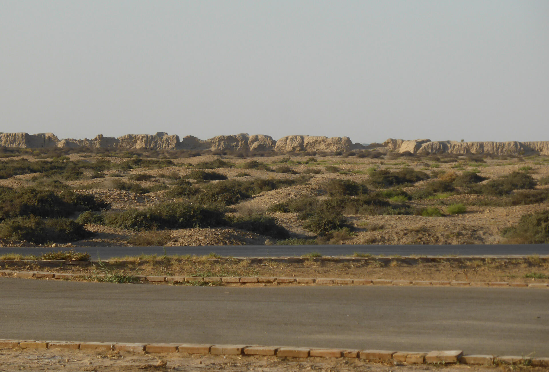
The State Historical and Cultural Park “Ancient Merv,” inscribed as a UNESCO World Heritage Site in 1999, stands as a testament to centuries of civilization along the ancient Silk Road. Situated in modern-day Mary, Turkmenistan, Merv is one of the oldest and best-preserved oasis cities in Central Asia, spanning over 4,000 years of human history.
More to come…UNESCO Description of the World Heritage Site
Merv is the oldest and best-preserved of the oasis-cities along the Silk Route in Central Asia. The remains in this vast oasis span 4,000 years of human history. A number of monuments are still visible, particularly from the last two millennia.
UNESCO Justification of the World Heritage Site
Criterion (ii): The cities of the Merv oasis have exerted considerable influence over the cultures of Central Asia and Iran for four millennia. The Seljuk city in particular influenced architecture and architectural decoration and scientific and cultural development.
Criterion (iii): The sequence of the cities of the Merv oasis, their fortifications, and their urban lay-outs bear exceptional testimony to the civilizations of Central Asia over several millennia.
Encyclopedia Record: Merv
Merv, also known as the Merve Oasis, was a major Iranian city in Central Asia, located on the historical Silk Road, near today's Mary, Turkmenistan. Human settlements on the site of Merv existed from the 3rd millennium BC until the 18th century AD. It changed hands repeatedly throughout history. Under the Achaemenid Empire, it was the center of the satrapy of Margiana. It was subsequently ruled by Hellenistic Kings, Parthians, Sasanians, Arabs, Ghaznavids, Seljuqs, Khwarazmians and Timurids, among others.Additional Site Details
Area: 353.24 hectares
Number of Components: 25
(iii) — Unique or exceptional testimony to a cultural tradition
Coordinates: 37.70083 , 62.1775
Image
© Hans Birger Nilsen, CC BY-SA 2.0 Resized from original. (This derivative is under the same CC BY-SA license.)
