World Heritage Identification Number: 130
World Heritage since: 1980
Category: Cultural Heritage
WHE Type: Archaeological Sites
Transboundary Heritage: No
Endangered Heritage: No
Country: 🇲🇹 Malta
Continent: Europe
UNESCO World Region: Europe and North America
Map
The Hal Saflieni Hypogeum: A Unique Subterranean Sanctuary and Necropolis in Malta
The Hal Saflieni Hypogeum, located in Paola, Malta, is a remarkable archaeological site that offers a unique glimpse into the ancient civilizations of prehistoric Malta. Inscribed as a UNESCO World Heritage Site in 1980, this subterranean structure dates back to approximately 2500 B.C., making it one of the most significant archaeological discoveries in the Mediterranean region.
More to come…UNESCO Description of the World Heritage Site
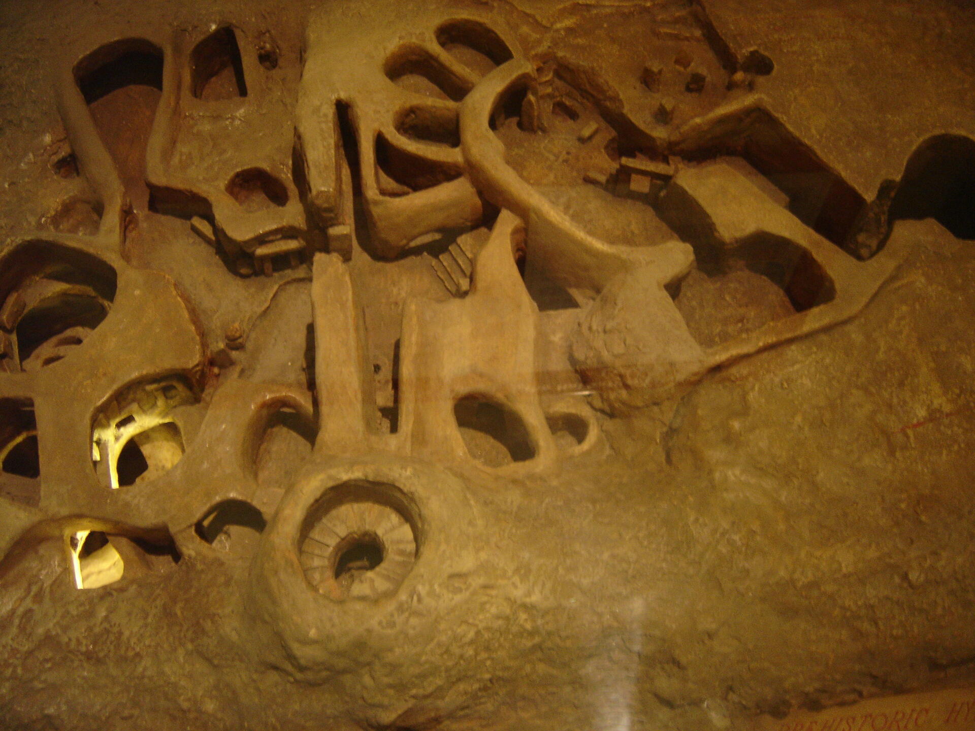
The Hypogeum is an enormous subterranean structure excavated c. 2500 B.C., using cyclopean rigging to lift huge blocks of coralline limestone. Perhaps originally a sanctuary, it became a necropolis in prehistoric times.
UNESCO Justification of the World Heritage Site
Criterion (iii): The Ħal Saflieni Hypogeum is a unique monument of exceptional value. It is the only known European example of a subterranean ‘labyrinth’ from about 4,000 B.C. to 2,500 B.C. The quality of its architecture and its remarkable state of preservation make it an essential prehistoric monument.
Encyclopedia Record: Ħal Saflieni Hypogeum
The Hypogeum of Ħal Saflieni is a Neolithic subterranean structure dating to the Saflieni phase in Maltese prehistory, located in Paola, Malta. It is often simply referred to as the Hypogeum, literally meaning "underground" in Greek. The Hypogeum is thought to have been a sanctuary and necropolis, with the estimated remains of more than 7,000 people documented by archeologists, and is among the best preserved examples of the Maltese temple building culture that also produced the Megalithic Temples and Xagħra Stone Circle.Additional Site Details
Area: 0.13 hectares
Number of Components: 1
Coordinates: 35.8695900049 , 14.5068833733
Image
© Moonshadow, CC BY-SA 3.0 Resized from original. (This derivative is under the same CC BY-SA license.)
