World Heritage Identification Number: 899
World Heritage since: 1999
Category: Cultural Heritage
WHE Type: Agriculture Landscapes, Parks & Gardens
Transboundary Heritage: No
Endangered Heritage: No
Country: 🇳🇱 Netherlands (Kingdom of the)
Continent: Europe
UNESCO World Region: Europe and North America
Map
The Beemster Polder: A Masterpiece of Land Reclamation and Renaissance Planning
The Beemster Polder, located in the province of North Holland in the Netherlands, stands as a testament to human ingenuity and the harmonious blend of art and science in the realm of land reclamation. Inscribed as a UNESCO World Heritage Site in 1999, this remarkable landscape offers a unique insight into the Dutch history of poldering and the application of classical and Renaissance planning principles.
More to come…UNESCO Description of the World Heritage Site
The Beemster Polder, dating from the early 17th century, is is an exceptional example of reclaimed land in the Netherlands. It has preserved intact its well-ordered landscape of fields, roads, canals, dykes and settlements, laid out in accordance with classical and Renaissance planning principles.
UNESCO Justification of the World Heritage Site
Criterion (i): The Beemster Polder is a masterpiece of creative planning, in which the ideals of antiquity and the Renaissance were applied to the design of a reclaimed landscape.
Criterion (ii): The innovative and intellectually imaginative landscape of the Beemster Polder had a profound and lasting impact on reclamation projects in Europe and beyond.
Criterion (iv): The creation of the Beemster Polder marks a major step forward in the interrelationship between humankind and water at a crucial period of social and economic expansion.
Encyclopedia Record: Beemster
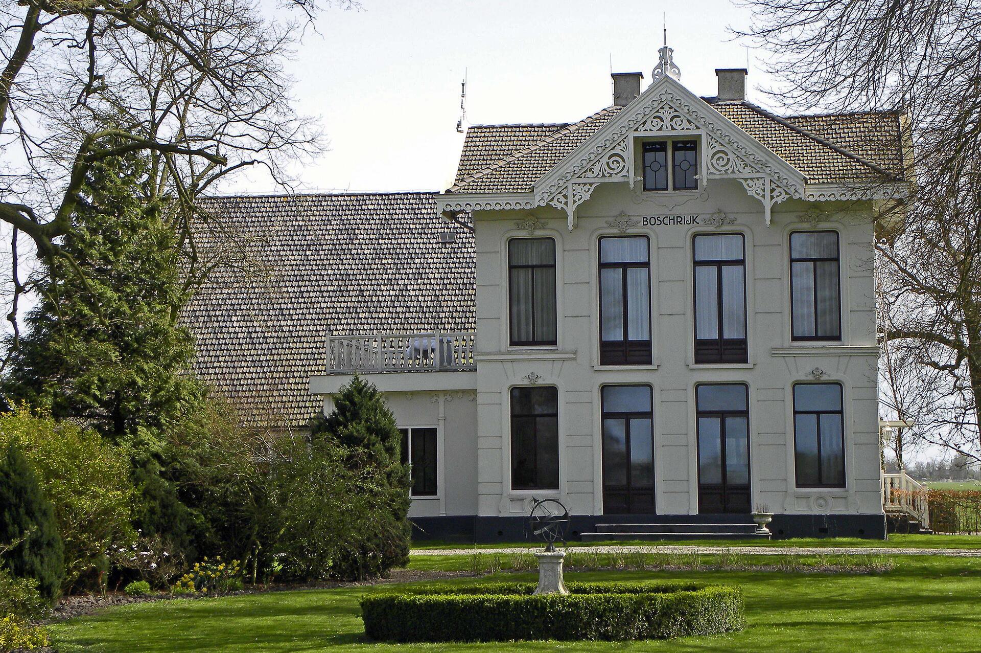
Beemster is a former municipality in the Netherlands, in the province of North Holland. The Beemster is the first polder in the Netherlands reclaimed from a lake, the water extracted by windmills between 1609 and 1612. The original well-ordered landscape of fields, roads, canals, and dykes has been preserved intact. A grid of canals parallels the grid of roads in the Beemster. The larger feeder canals are offset by approximately one kilometer from the larger roads.Additional Site Details
Area: 7,208 hectares
Number of Components: 1
(ii) — Significant interchange of human values
(iv) — Outstanding example of a type of building or landscape
Coordinates: 52.54888889 , 4.911111111
Image
© Arhu, CC BY-SA 3.0 Resized from original. (This derivative is under the same CC BY-SA license.)
