World Heritage Identification Number: 1442
World Heritage since: 2014
Category: Cultural Heritage
WHE Type: Infrastructure & Industry
Transboundary Heritage: Yes
Endangered Heritage: No
Country: China, Kazakhstan, Kyrgyzstan
Continent: Asia
UNESCO World Region: Asia and the Pacific
Map
Exploring the Chang'an-Tianshan Corridor: A Journey Along the Ancient Silk Roads
The Chang'an-Tianshan Corridor, inscribed as a UNESCO World Heritage Site in 2014, offers a unique glimpse into the rich history and cultural exchange that occurred along the ancient Silk Roads network. Stretching over 5,000 kilometers (3,100 miles), this significant route connected Central China to the Zhetysu region of Central Asia, providing a conduit for trade, religious beliefs, scientific knowledge, technological innovation, cultural practices, and artistic exchanges from the 2nd century BC to the 16th century.
More to come…UNESCO Description of the World Heritage Site
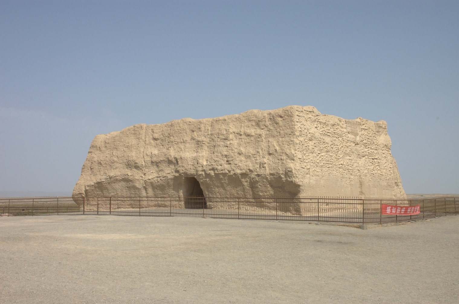
This property is a 5,000 km section of the extensive Silk Roads network, stretching from Chang’an/Luoyang, the central capital of China in the Han and Tang dynasties, to the Zhetysu region of Central Asia. It took shape between the 2nd century BC and 1st century AD and remained in use until the 16th century, linking multiple civilizations and facilitating far-reaching exchanges of activities in trade, religious beliefs, scientific knowledge, technological innovation, cultural practices and the arts. The thirty-three components included in the routes network include capital cities and palace complexes of various empires and Khan kingdoms, trading settlements, Buddhist cave temples, ancient paths, posthouses, passes, beacon towers, sections of The Great Wall, fortifications, tombs and religious buildings.
UNESCO Justification of the World Heritage Site
Criterion (ii): The vastness of the continental routes networks, the ultra-long duration of use, the diversity of heritage remains and their dynamic interlinks, the richness of the cultural exchange they facilitated, the varied geographical environments they connected and crossed, clearly demonstrates the extensive interaction that took place within various cultural regions, especially the nomadic steppe and settled agrarian/oasis/pastoral civilizations, on the Eurasian continent between the 2nd century BC and the 16th century AD. These interaction and influences were profound in terms of developments in architecture and city planning, religions and beliefs, urban culture and habitation, merchandise trade and interethnic relations in all regions along the routes. The Tian-shan corridor is an extraordinary example in world history of how a dynamic channel linking civilizations and cultures across the Eurasian continent, realized the broadest and most long-lasting interchange among civilizations and cultures.
Criterion (iii): The Tian-shan corridor bears an exceptional witness to traditions of communication and exchange in economy and culture, and to social development across the Eurasian continent between the 2nd century BC to the 16th century AD. Trade had a profound influence on the settlement structure of the landscape, through the development of towns and cities that brought together nomadic and settled communities, through water management systems that underpinned those settlements, through the extensive network of forts, beacon towers, way stations and caravanserai that accommodated travellers and ensured their safety, through the sequence of Buddhist shrines and cave temples, and through manifestations of other religions such as Zoroastrianism, Manichaeism, Nestorian Christianity and Islam that resulted from the cosmopolitan, multi-ethnic communities that organised and benefitted from the high value trade.
Criterion (v): The Tian-shan corridor is an outstanding example of the way high value, long-distance trade prompted the growth of sizeable towns and cities, supported by elaborate, sophisticated water management systems that harvested water from rivers, wells and underground springs for residents, travellers and the irrigation of crops.
Criterion (vi): The Tian-shan Corridor is directly associated with Zhang Qian’s diplomatic mission to the Western Regions, a milestone event in the history of human civilization and cultural interchange in the Eurasian Continent. It also reflects in a profound way the tangible impact of Buddhism into ancient China which had significant impact on cultures of East Asia, and the spread of Nestorian Christianity (which reached China in 500 AD), Manichaeism, Zoroastrianism and early Islam. Many of the towns and cities along the corridor also reflect in an exceptional way the impact of ideas that flowed along the routes related to harnessing water power, architecture and town planning.
Encyclopedia Record: Silk Roads: the Routes Network of Chang'an-Tianshan Corridor
Silk Roads: The Routes Network of Chang'an-Tian Shan Corridor is a UNESCO World Heritage Site which covers the Chang'an-Tianshan portion of the ancient Silk Road and historical sites along the route. On June 22, 2014, UNESCO designated a 5,000 km (3,100 mi) stretch of the Silk Road network from Central China to the Zhetysu region of Central Asia as a World Heritage site. The corridor spans China, Kazakhstan and Kyrgyzstan and includes 33 new sites and several previously designated heritage sites.Additional Site Details
Area: 42,668.16 hectares
Number of Components: 33
(iii) — Unique or exceptional testimony to a cultural tradition
(v) — Outstanding example of traditional human settlement
(vi) — Directly associated with events or living traditions
Coordinates: 34.3044444444 , 108.8572222222
Image
© 张骐, CC BY-SA 3.0 Resized from original. (This derivative is under the same CC BY-SA license.)