World Heritage Identification Number: 561
World Heritage since: 1991
Category: Cultural Heritage
WHE Type: Archaeological Sites
Transboundary Heritage: No
Endangered Heritage: No
Country: 🇱🇰 Sri Lanka
Continent: Asia
UNESCO World Region: Asia and the Pacific
Map
Dambulla Cave Temple: A Spiritual Sanctuary in Central Sri Lanka
The Dambulla Cave Temple, officially recognized as the Rangiri Dambulla Cave Temple, stands as a testament to Sri Lanka's rich cultural heritage and religious significance. Inscribed as a UNESCO World Heritage Site in 1991, this remarkable cave monastery complex has been a sacred pilgrimage site for over two millennia.
More to come…UNESCO Description of the World Heritage Site
A sacred pilgrimage site for 22 centuries, this cave monastery, with its five sanctuaries, is the largest, best-preserved cave-temple complex in Sri Lanka. The Buddhist mural paintings (covering an area of 2,100 m2 ) are of particular importance, as are the 157 statues.
UNESCO Justification of the World Heritage Site
Criterion (i): The monastic ensemble of Dambulla is an outstanding example of the religious art and expression of Sri Lanka and South and Southeast Asia. The cave shrine, their painted surfaces, and statuary are unique in scale and degree of preservation. The monastery includes significant masterpieces of 18th-century art in the Sri Lankan school of Kandy.
Criterion (vi): Dambulla is an important shrine in the Buddhist religion in Sri Lanka, remarkable for its association with the long-standing and wide-spread tradition of living Buddhist ritual practices and pilgrimage for more than two millennia.
Encyclopedia Record: Dambulla cave temple
Dambulla cave temple, also known as the Golden Temple of Dambulla, is a World Heritage Site (1991) in Sri Lanka, situated in the central part of the country. This site is situated 148 kilometres (92 mi) east of Colombo, 72 kilometres (45 mi) north of Kandy and 43 kilometres (27 mi) north of Matale.Additional Site Details
Area: Not available
Number of Components: 1
(vi) — Directly associated with events or living traditions
Coordinates: 7.856666667 , 80.64916667
Image
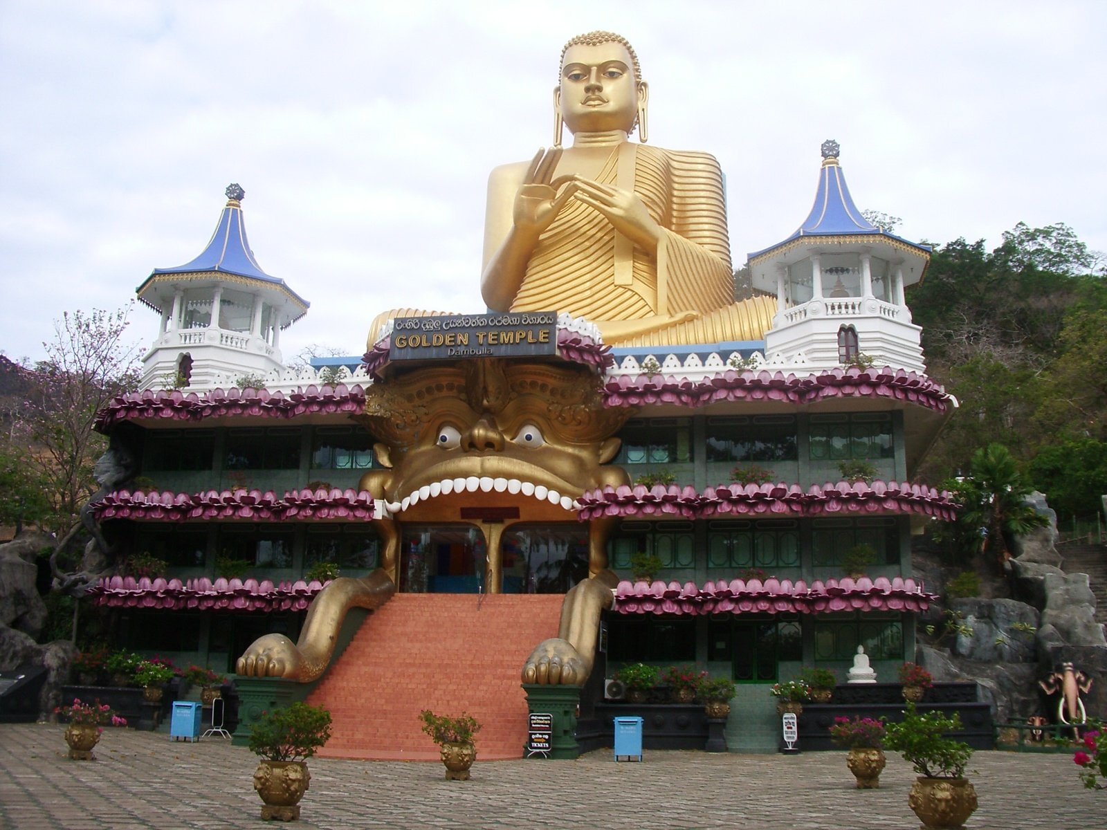
© No machine-readable author provided. Jolle~commonswiki assumed (based on copyright claims)., CC BY-SA 3.0 Resized from original. (This derivative is under the same CC BY-SA license.)