World Heritage Identification Number: 1724
World Heritage since: 2026
Category: Natural Heritage
WHE Type: Natural Landscapes & Geographic Features
Transboundary Heritage: No
Endangered Heritage: No
Country: 🇦🇪 United Arab Emirates
Continent: Asia
UNESCO World Region: Arab States
Map
Wadi Wurayah: A Unique Oasis in the Hajar Mountain Range
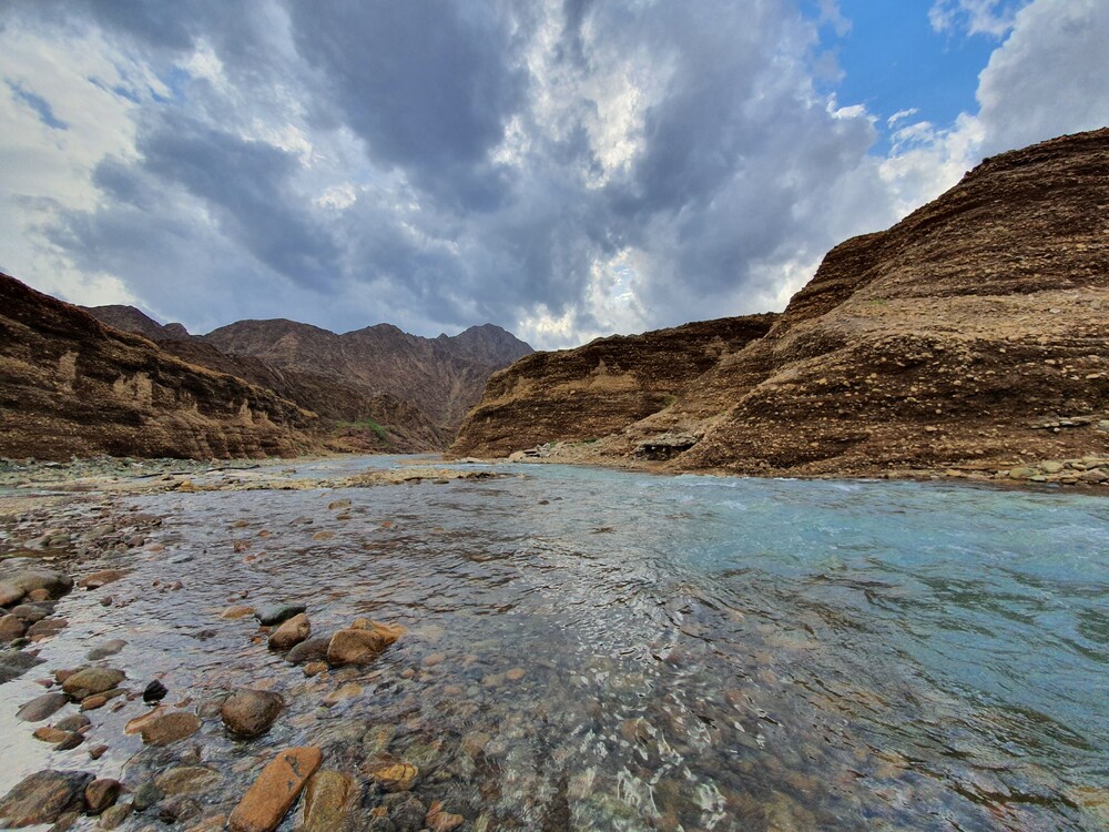
Wadi Wurayah, a 12,700-hectare (31,000-acre) wadi nestled between the towns of Masafi, Khor Fakkan, and Bidiyah in the Emirate of Fujairah, United Arab Emirates, stands as a testament to the region's geological and ecological diversity. Inscribed as a UNESCO World Heritage Site in 2026, Wadi Wurayah offers a captivating blend of natural beauty, unique biodiversity, and historical significance.
More to come…UNESCO Description of the World Heritage Site
The property is located entirely within the Hajar mountain range in the Emirate of Fujairah. Geologically, the Hajar Mountains represent extensive and well-preserved exposures of ophiolite sequences, formed during Late Cretaceous tectonic processes. Ecologically, the property is situated within the Al Hajar Foothill Xeric Woodlands and Shrublands, recognised for its ecological distinctiveness, high species richness, and significant levels of endemism. Wadi Wurayah hosts 1,099 recorded species (883 fauna and 216 flora), including at least ten globally threatened species. These represent approximately half of the terrestrial mammal species and nearly half of the terrestrial reptile species recorded in the country.Encyclopedia Record: Wadi Wurayah
Wadi Wurayah is a 12,700-hectare (31,000-acre) wadi between the towns of Masafi, Khor Fakkan, and Bidiyah in the United Arab Emirates. It has been designated as Ramsar Wetland of International Importance. The lush canyon in the area was named after the tall marsh plant known as ‘warrah’, that flourishes in its wetlands, while the word ‘wadi’ is the Arabic term for valley.Additional Site Details
Area: 22,000 hectares
Number of Components: 1
Coordinates: 25.48233 , 56.265792
Image
© Nuri Asmita. Used with permission.